Transport Functions
Rail
Road
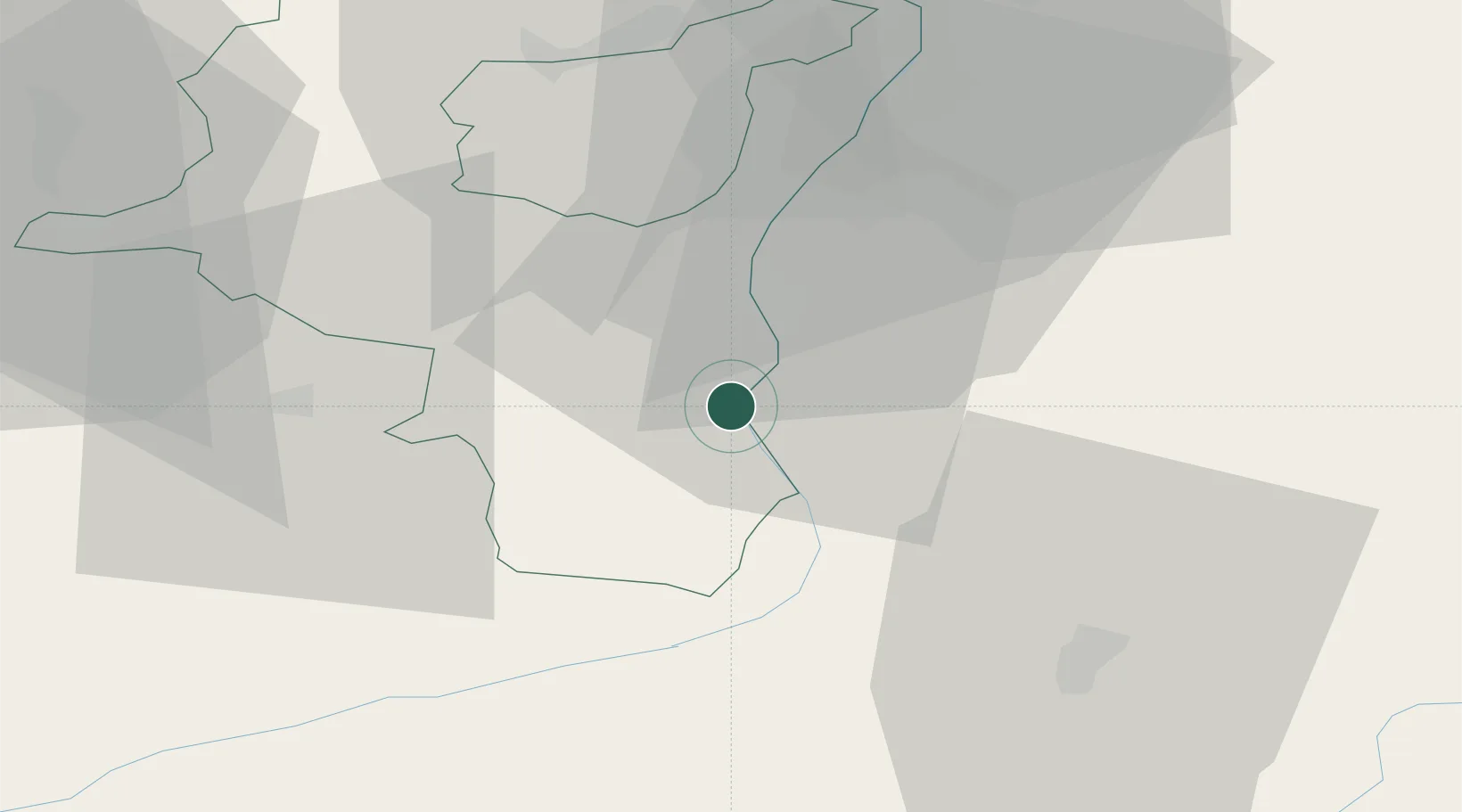
Hub Profile
Place type
Populated place
Region
Saint Gallen
Time zone
Europe/Zurich
Elevation
487 m
Location
Nearby Logistics Neighbours
Cities
- 1Fläsch7 km
- 2Bad Ragaz8 km
- 3Jenins11 km
- 4Buchs11 km
- 5Werdenberg11 km
Ports
- 1Porto Di Lido-Venezia293 km
- 2Porto Di Chioggia299 km
- 3Genova300 km
- 4Chiavari - Lavagna307 km
- 5Savona315 km
Airports
- 1Sankt Gallen Altenrhein Airport47 km
- 2Engadin Airport67 km
- 3Bodensee Airport Friedrichshafen67 km
- 4Dübendorf Air Base72 km
- 5Zürich Airport82 km
Trade Zones
- 1Livigno Free Trade Zone77 km
- 2Magazzini Generali Con Chiasso142 km
- 3ZFU Mulhouse177 km
- 4ZFU Neuhof207 km
- 5ZFU Montbéliard208 km
DatabookThe Record of Consolidated Knowledge
Switzerland beyond logistics?