UN/LOCODE hub · Russia
RUNOK

Novotroitsk

51.2000°, 58.3167°
106,186
Population
1
Transport functions

Transport Functions

Multimodal
UN/LOCODE

Hub Profile

Place type
Provincial seat
GeoNames
Region
Orenburg Oblast
GeoNames
Population
106,186
GeoNames
Time zone
Asia/Yekaterinburg
GeoNames
Elevation
213 m
GeoNames

Location

Location of RUNOK
Natural Earth 10m (public domain) · Orenburg Oblast · RUNOK · 51.20, 58.32GoogleOSMYandex

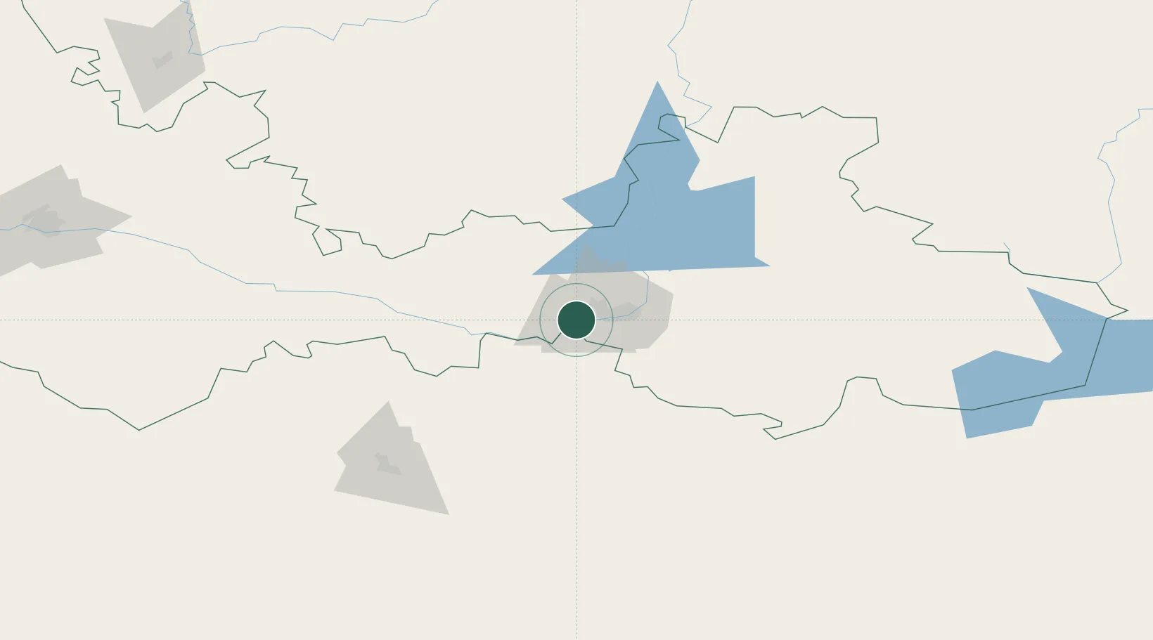
Nearby Logistics Neighbours

Cities
  1. 1Anhalt Süd49 km
  2. 2Aqtöbe (Aktyubinsk)130 km
  3. 3Lieren158 km
  4. 4Chërnyy Otrog177 km
  5. 5Orenburgskiy248 km
Nearest neighbours — logibook spatial index (haversine) over the source coordinates
Ports
  1. 1Rostov-Na-Donu1420 km
  2. 2Azov1442 km
  3. 3Taganrog1471 km
  4. 4Yeysk1540 km
  5. 5Sokhumi1593 km
Nearest neighbours — logibook spatial index (haversine) over the source coordinates
Airports
  1. 1Orsk Airport24 km
  2. 2Aktobe International Airport132 km
  3. 3Kvarkeno Airport136 km
  4. 4Svetlyy Airport186 km
  5. 5Orenburg Central Airport209 km
Nearest neighbours — logibook spatial index (haversine) over the source coordinates
DatabookThe Record of Consolidated Knowledge
Russia beyond logistics?
Browse databook

All Sources

LocationsUN/LOCODE
UN/LOCODE — free
LocationsGeoNames
CC BY 4.0
Portsthe NGA World Port Index
Public domain (US gov)
AirportsOurAirports
Public domain
Trade Zonesthe World Bank SEZ database
CC BY 4.0
Trade ZonesOpen Zone Map
CC BY
← Russia locations