UN/LOCODE hub · Germany
DEAUD

Anhalt Süd

51.0667°, 58.9833°
1
Transport functions

Transport Functions

Multimodal
UN/LOCODE

Hub Profile

Region
ST
GeoNames

Location

Location of DEAUD
Natural Earth 10m (public domain) · ST · DEAUD · 51.07, 58.98GoogleOSMYandex

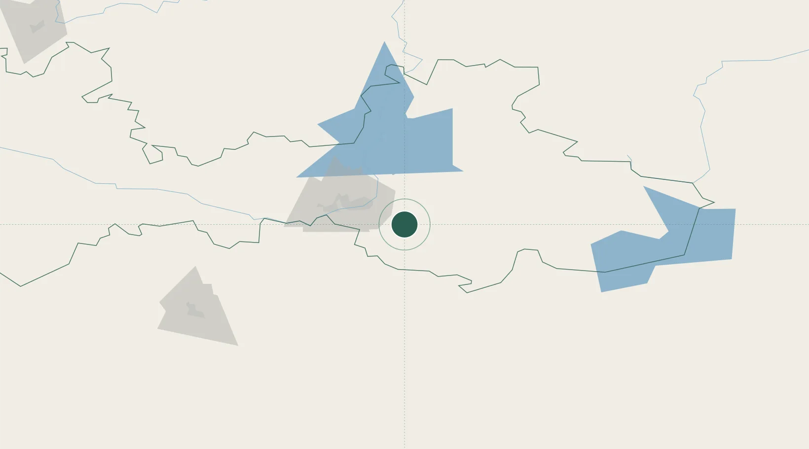
Nearby Logistics Neighbours

Cities
  1. 1Novotroitsk49 km
  2. 2Lieren141 km
  3. 3Aqtöbe (Aktyubinsk)155 km
  4. 4Chërnyy Otrog226 km
  5. 5Gasselternijveen248 km
Nearest neighbours — logibook spatial index (haversine) over the source coordinates
Ports
  1. 1Rostov-Na-Donu1463 km
  2. 2Azov1485 km
  3. 3Taganrog1514 km
  4. 4Yeysk1583 km
  5. 5Sokhumi1627 km
Nearest neighbours — logibook spatial index (haversine) over the source coordinates
Airports
  1. 1Orsk Airport27 km
  2. 2Kvarkeno Airport123 km
  3. 3Svetlyy Airport138 km
  4. 4Aktobe International Airport155 km
  5. 5Orenburg Central Airport257 km
Nearest neighbours — logibook spatial index (haversine) over the source coordinates
DatabookThe Record of Consolidated Knowledge
Germany beyond logistics?
Browse databook

All Sources

LocationsUN/LOCODE
UN/LOCODE — free
Portsthe NGA World Port Index
Public domain (US gov)
AirportsOurAirports
Public domain
Trade Zonesthe World Bank SEZ database
CC BY 4.0
Trade ZonesOpen Zone Map
CC BY
← Germany locations