Transport Functions
Rail
Road
Airport
Hub Profile
Region
15
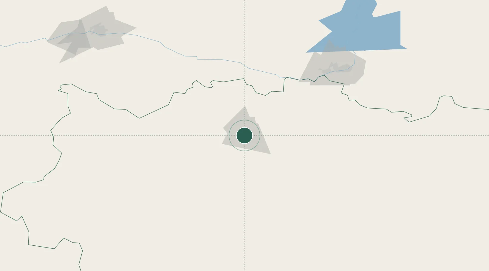
Location
Nearby Logistics Neighbours
Cities
- 1Novotroitsk130 km
- 2Shubarkuduk137 km
- 3Anhalt Süd155 km
- 4Velyka Dymerka188 km
- 5Chërnyy Otrog196 km
Ports
- 1Rostov-Na-Donu1323 km
- 2Azov1345 km
- 3Taganrog1375 km
- 4Yeysk1443 km
- 5Sokhumi1474 km
Airports
- 1Aktobe International Airport5 km
- 2Orsk Airport134 km
- 3Orenburg Central Airport206 km
- 4Kvarkeno Airport266 km
- 5Svetlyy Airport270 km
DatabookThe Record of Consolidated Knowledge
Kazakhstan beyond logistics?