Transport Functions
Rail
Road
Airport
Hub Profile
Place type
Regional capital
Region
Kurgan Oblast
Population
309,285
Time zone
Asia/Yekaterinburg
Elevation
80 m
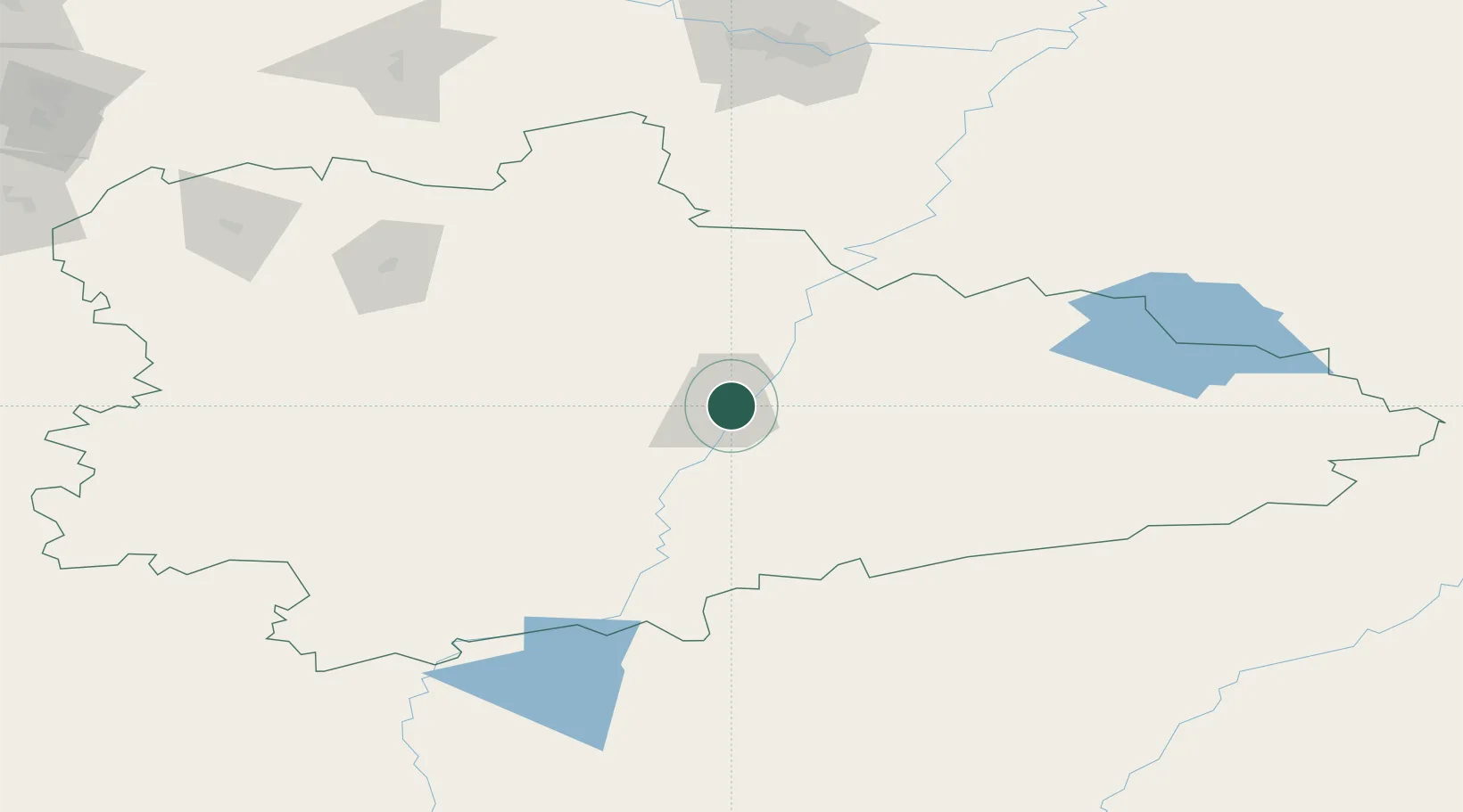
Location
Nearby Logistics Neighbours
Cities
- 1Mishkino91 km
- 2Shumikha131 km
- 3Tyumen191 km
- 4Kamensk-Ural'skiy237 km
- 5Beskol252 km
Ports
- 1Mezen1617 km
- 2Arkhangels'k1692 km
- 3Igarka1733 km
- 4Dudinka1867 km
- 5Port Dikson2122 km
Airports
DatabookThe Record of Consolidated Knowledge
Russia beyond logistics?