UN/LOCODE hub · Russia
RUKYB
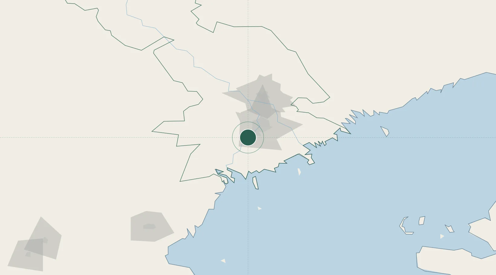
Krasnyye Barrikady
46.2000°, 47.8500°
6,275
Population
2
Transport functions
Transport Functions
Port
Road
Hub Profile
Place type
Populated place
Region
Astrakhan Oblast
Population
6,275
Time zone
Europe/Astrakhan
Elevation
-23 m
Location
Nearby Logistics Neighbours
Cities
- 1Ikryanoye16 km
- 2Trudfront35 km
- 3Oranzherei46 km
- 4Olya52 km
- 5Bautino264 km
Ports
- 1Rostov-Na-Donu629 km
- 2Azov650 km
- 3Sokhumi651 km
- 4Supsa Marine Terminal668 km
- 5Taganrog687 km
Airports
Trade Zones
DatabookThe Record of Consolidated Knowledge
Russia beyond logistics?