Transport Functions
Multimodal
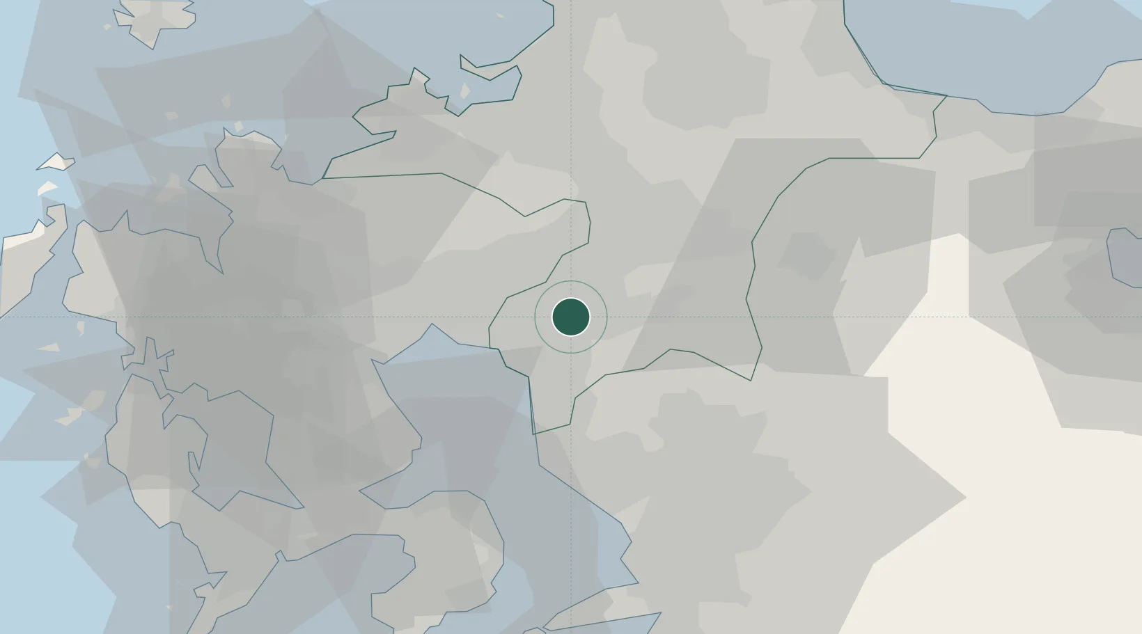
Hub Profile
Region
40
Location
Nearby Logistics Neighbours
Cities
- 1Yame, Fukuoka5 km
- 2Miyama, Fukuoka6 km
- 3Okawa11 km
- 4Miyaki14 km
- 5Tosu19 km
Airports
- 1Kyushu Saga International Airport19 km
- 2Fukuoka Airport43 km
- 3Kumamoto Airport52 km
- 4Nagasaki Airport63 km
- 5JASDF Tsuiki Air Base74 km
DatabookThe Record of Consolidated Knowledge
Japan beyond logistics?