Transport Functions
Multimodal
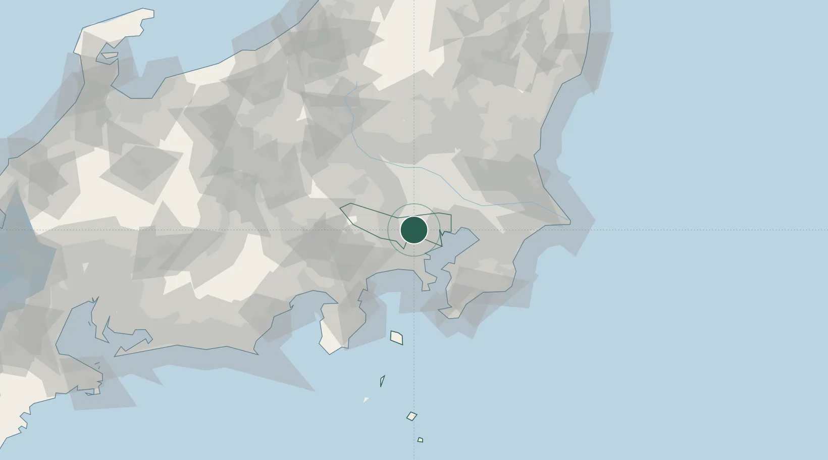
Hub Profile
Place type
Provincial seat
Region
Tokyo
Population
242,614
Time zone
Asia/Tokyo
Elevation
44 m
Location
Nearby Logistics Neighbours
Cities
- 1Musashino6 km
- 2Fuchu-shi6 km
- 3Suginami, Tokyo7 km
- 4Setagaya-ku/Tokyo9 km
- 5Kokubunji9 km
Ports
- 1Tokyo Ko18 km
- 2Yokohama Ko22 km
- 3Kawasaki Ko26 km
- 4Funabashi36 km
- 5Yokosuka Ko42 km
Airports
Trade Zones
DatabookThe Record of Consolidated Knowledge
Japan beyond logistics?