Transport Functions
Multimodal
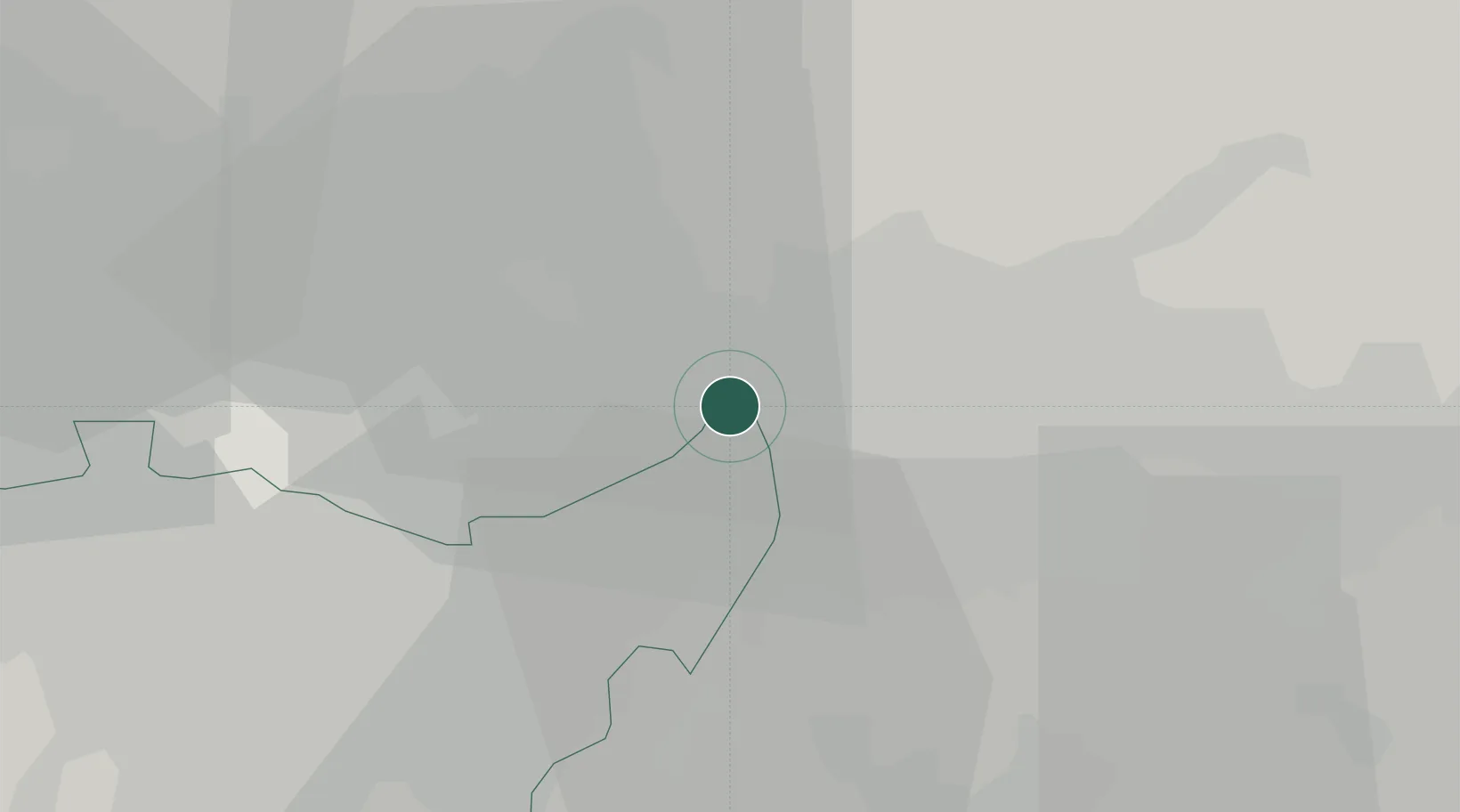
Hub Profile
Place type
District seat
Region
Lombardy
Population
5,121
Time zone
Europe/Rome
Elevation
222 m
Location
Nearby Logistics Neighbours
Cities
- 1Verderio Inferiore6 km
- 2Vaprio d'Adda6 km
- 3Verderio Superiore6 km
- 4Aicurzio7 km
- 5Carvico8 km
Ports
- 1Genova145 km
- 2Chiavari - Lavagna148 km
- 3Savona166 km
- 4La Spezia173 km
- 5Rada Di Vado173 km
Airports
Trade Zones
DatabookThe Record of Consolidated Knowledge
Italy beyond logistics?