Transport Functions
Multimodal
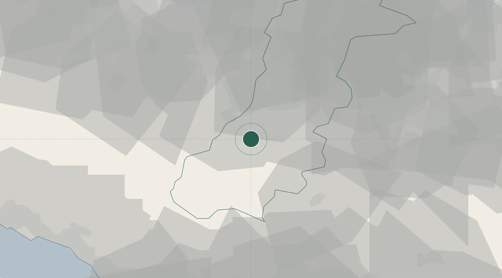
Hub Profile
Region
MO
Location
Nearby Logistics Neighbours
Cities
- 1Serramazzoni1 km
- 2Torre Maina12 km
- 3Montefiorino13 km
- 4Sant'Antonino15 km
- 5Maranello15 km
Ports
- 1Marina Di Carrara72 km
- 2Viareggio75 km
- 3La Spezia82 km
- 4Livorno105 km
- 5Chiavari - Lavagna115 km
Airports
- 1Bologna Guglielmo Marconi Airport44 km
- 2Parma Airport59 km
- 3Sarzana-Luni Air Base72 km
- 4Florence Airport, Peretola76 km
- 5Pisa International Airport87 km
Trade Zones
DatabookThe Record of Consolidated Knowledge
Italy beyond logistics?