UN/LOCODE hub · Italy
ITZUP

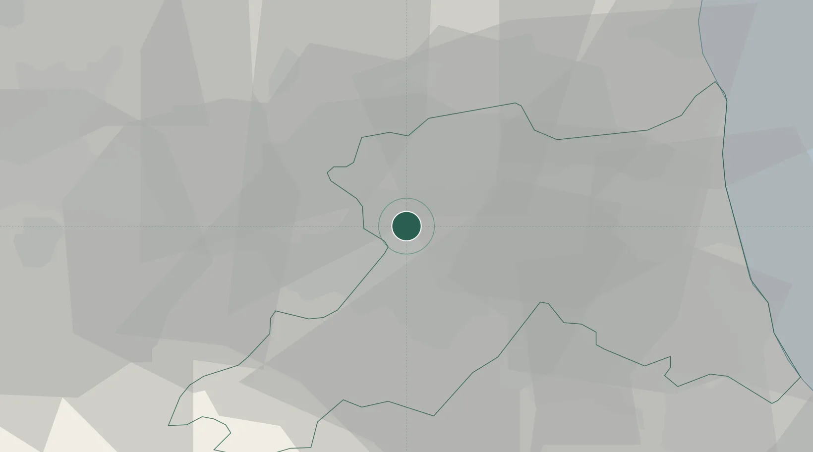
Sant'Agata sul Santerno

44.4333°, 11.8500°
2,404
Population
1
Transport functions

Transport Functions

Multimodal
UN/LOCODE

Hub Profile

Place type
District seat
GeoNames
Region
Emilia-Romagna
GeoNames
Population
2,404
GeoNames
Time zone
Europe/Rome
GeoNames
Elevation
14 m
GeoNames

Location

Location of ITZUP
Natural Earth 10m (public domain) · Emilia-Romagna · ITZUP · 44.43, 11.85GoogleOSMYandex

Nearby Logistics Neighbours

Cities
  1. 1Lugo di Ravenna4 km
  2. 2Solarolo9 km
  3. 3Alfonsine18 km
  4. 4Godo18 km
  5. 5Piangipane19 km
Nearest neighbours — logibook spatial index (haversine) over the source coordinates
Ports
  1. 1Porto Di Corsini36 km
  2. 2Porto Garibaldi42 km
  3. 3Cesenatico51 km
  4. 4Rimini70 km
  5. 5Porto Di Chioggia96 km
Nearest neighbours — logibook spatial index (haversine) over the source coordinates
Airports
  1. 1Forlì-Luigi Ridolfi International Airport32 km
  2. 2Cervia Air Base43 km
  3. 3Bologna Guglielmo Marconi Airport46 km
  4. 4Federico Fellini International Airport76 km
  5. 5Florence Airport, Peretola87 km
Nearest neighbours — logibook spatial index (haversine) over the source coordinates
Trade Zones
  1. 1Consorzio Zona Industriale e Porto Fluviale di Padova106 km
  2. 2Free Port of Venice117 km
  3. 3Port of Pula Free Zone164 km
  4. 4Free Port of Trieste201 km
  5. 5Port of Rijeka Free Zone208 km
Nearest neighbours — logibook spatial index (haversine) over the source coordinates
DatabookThe Record of Consolidated Knowledge
Italy beyond logistics?
Browse databook

All Sources

LocationsUN/LOCODE
UN/LOCODE — free
LocationsGeoNames
CC BY 4.0
Portsthe NGA World Port Index
Public domain (US gov)
AirportsOurAirports
Public domain
Trade Zonesthe World Bank SEZ database
CC BY 4.0
Trade ZonesOpen Zone Map
CC BY
← Italy locations