Transport Functions
Multimodal
Hub Profile
Place type
District seat
Region
Emilia-Romagna
Population
3,045
Time zone
Europe/Rome
Elevation
25 m
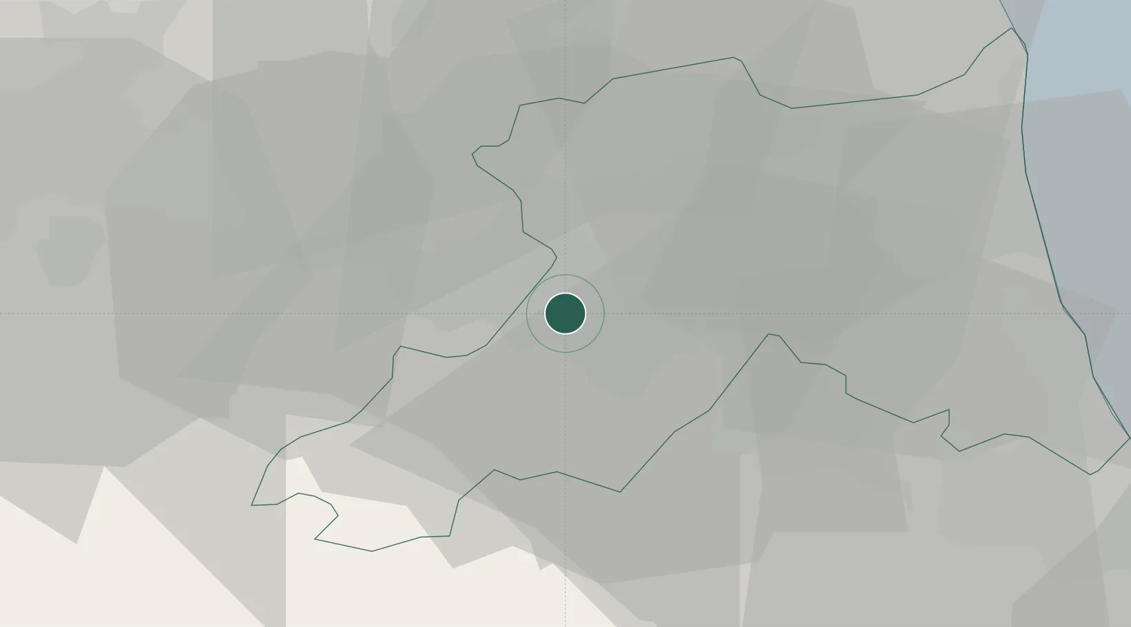
Location
Nearby Logistics Neighbours
Cities
- 1Lugo di Ravenna9 km
- 2Sant'Agata sul Santerno9 km
- 3Godo19 km
- 4Piangipane21 km
- 5Alfonsine24 km
Ports
- 1Porto Di Corsini40 km
- 2Cesenatico48 km
- 3Porto Garibaldi49 km
- 4Rimini66 km
- 5Pesaro97 km
Airports
Trade Zones
- 1Consorzio Zona Industriale e Porto Fluviale di Padova116 km
- 2Free Port of Venice126 km
- 3Port of Pula Free Zone168 km
- 4Free Port of Trieste209 km
- 5Port of Rijeka Free Zone213 km
DatabookThe Record of Consolidated Knowledge
Italy beyond logistics?