Transport Functions
Rail
Road
Hub Profile
Place type
District seat
Region
Emilia-Romagna
Population
9,838
Time zone
Europe/Rome
Elevation
6 m
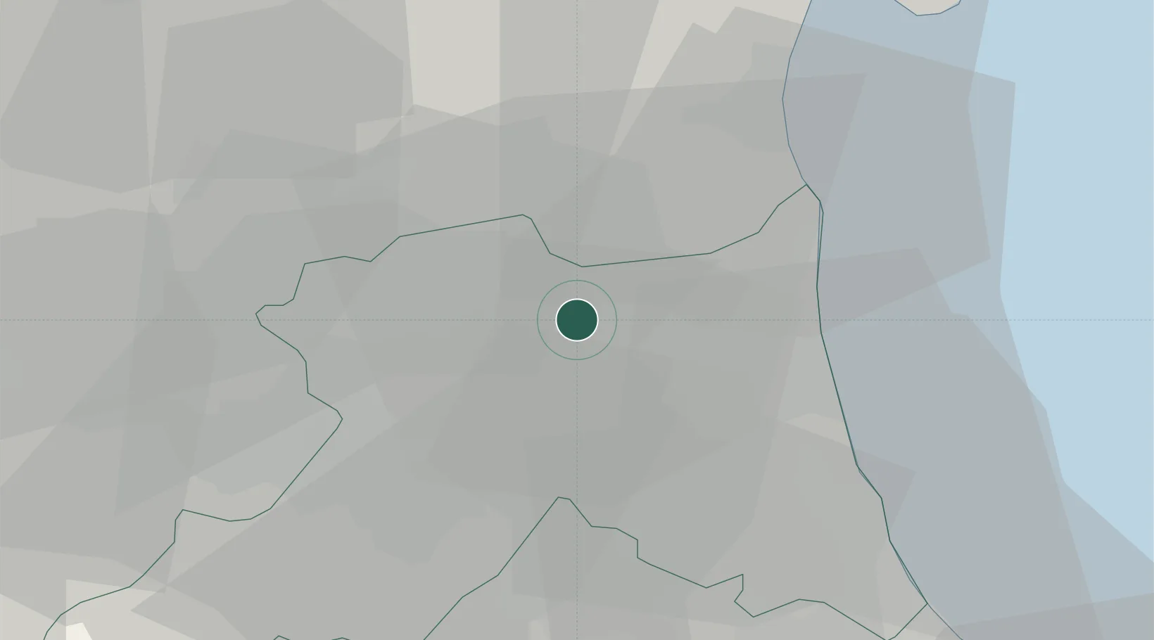
Location
Nearby Logistics Neighbours
Cities
- 1Piangipane10 km
- 2Longastrino10 km
- 3Godo13 km
- 4Lugo di Ravenna15 km
- 5Ravenna16 km
Ports
- 1Porto Di Corsini19 km
- 2Porto Garibaldi25 km
- 3Cesenatico43 km
- 4Rimini63 km
- 5Porto Di Chioggia84 km
Airports
Trade Zones
DatabookThe Record of Consolidated Knowledge
Italy beyond logistics?