Transport Functions
Multimodal
Hub Profile
Region
RA
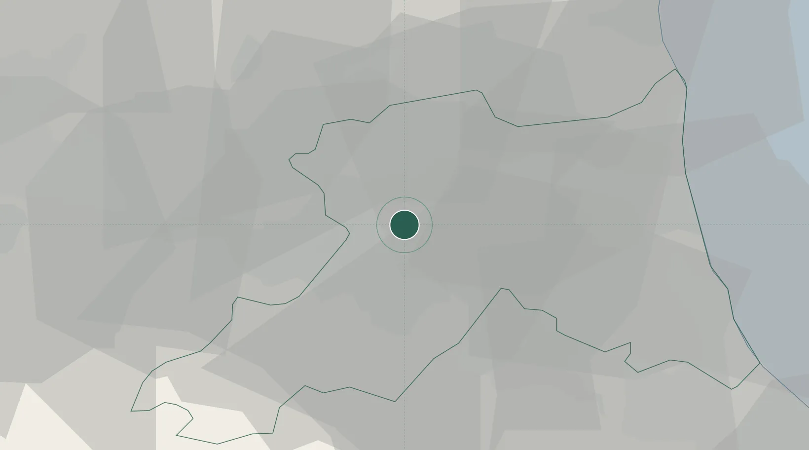
Location
Nearby Logistics Neighbours
Cities
- 1Sant'Agata sul Santerno4 km
- 2Solarolo9 km
- 3Godo14 km
- 4Piangipane15 km
- 5Alfonsine15 km
Ports
- 1Porto Di Corsini32 km
- 2Porto Garibaldi40 km
- 3Cesenatico47 km
- 4Rimini65 km
- 5Porto Di Chioggia96 km
Airports
Trade Zones
- 1Consorzio Zona Industriale e Porto Fluviale di Padova108 km
- 2Free Port of Venice117 km
- 3Port of Pula Free Zone161 km
- 4Free Port of Trieste200 km
- 5Port of Rijeka Free Zone205 km
DatabookThe Record of Consolidated Knowledge
Italy beyond logistics?