Transport Functions
Multimodal
Hub Profile
Place type
Populated place
Region
Emilia-Romagna
Population
2,391
Time zone
Europe/Rome
Elevation
8 m
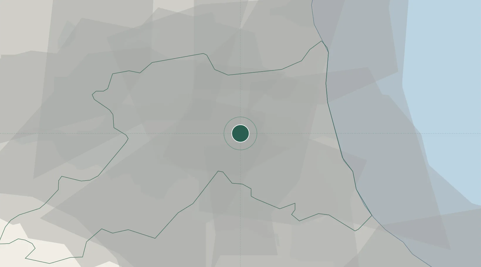
Location
Nearby Logistics Neighbours
Cities
- 1Godo4 km
- 2Alfonsine10 km
- 3Ravenna12 km
- 4Porto San Vitale12 km
- 5San Pietro in Vincoli14 km
Ports
- 1Porto Di Corsini19 km
- 2Porto Garibaldi32 km
- 3Cesenatico35 km
- 4Rimini54 km
- 5Pesaro85 km
Airports
Trade Zones
- 1Consorzio Zona Industriale e Porto Fluviale di Padova109 km
- 2Free Port of Venice114 km
- 3Port of Pula Free Zone147 km
- 4Free Port of Trieste190 km
- 5Port of Rijeka Free Zone192 km
DatabookThe Record of Consolidated Knowledge
Italy beyond logistics?