UN/LOCODE hub · Italy
ITZTF

San Giuseppe di Cairo

44.3667°, 8.3000°
1
Transport functions

Transport Functions

Multimodal
UN/LOCODE

Hub Profile

Region
SV
GeoNames

Location

Location of ITZTF
Natural Earth 10m (public domain) · SV · ITZTF · 44.37, 8.30GoogleOSMYandex

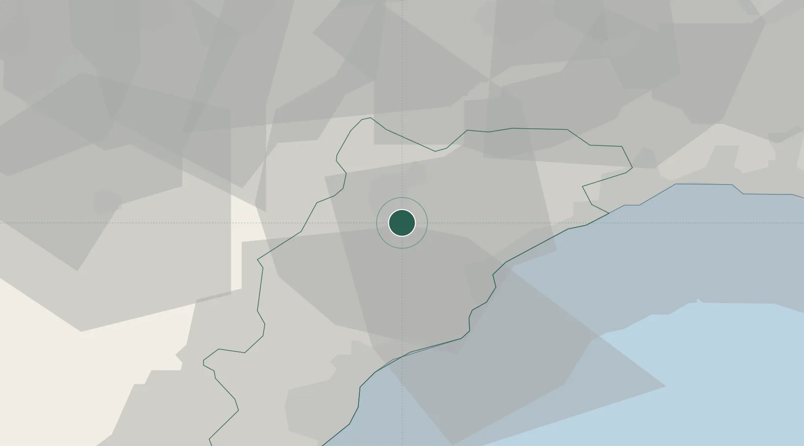
Nearby Logistics Neighbours

Cities
  1. 1Stella15 km
  2. 2Vado Ligure16 km
  3. 3Spotorno18 km
  4. 4Savona18 km
  5. 5Spigno Monferrato21 km
Nearest neighbours — logibook spatial index (haversine) over the source coordinates
Ports
  1. 1Rada Di Vado17 km
  2. 2Savona17 km
  3. 3Genova50 km
  4. 4Imperia58 km
  5. 5San Remo74 km
Nearest neighbours — logibook spatial index (haversine) over the source coordinates
Airports
  1. 1Riviera Villanova d'Albenga International Airport38 km
  2. 2Genoa Cristoforo Colombo Airport43 km
  3. 3Cuneo International Airport57 km
  4. 4Novi Ligure Eugenio Mossi Airfield60 km
  5. 5Torino-Aeritalia Airport97 km
Nearest neighbours — logibook spatial index (haversine) over the source coordinates
Trade Zones
  1. 1ZFU LAriane107 km
  2. 2Magazzini Generali Con Chiasso172 km
  3. 3Aosta Valley191 km
  4. 4ZFU Grenoble226 km
  5. 5ZFU Toulon235 km
Nearest neighbours — logibook spatial index (haversine) over the source coordinates
DatabookThe Record of Consolidated Knowledge
Italy beyond logistics?
Browse databook

All Sources

LocationsUN/LOCODE
UN/LOCODE — free
Portsthe NGA World Port Index
Public domain (US gov)
AirportsOurAirports
Public domain
Trade Zonesthe World Bank SEZ database
CC BY 4.0
Trade ZonesOpen Zone Map
CC BY
← Italy locations