Transport Functions
Multimodal
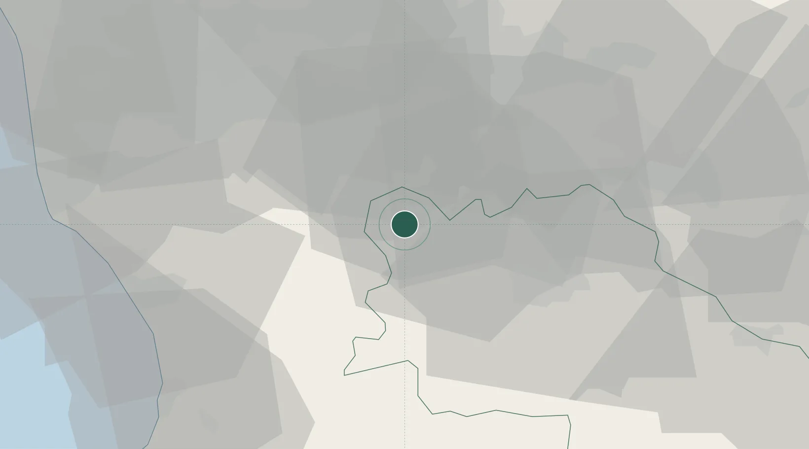
Hub Profile
Place type
District seat
Region
Tuscany
Population
3,261
Time zone
Europe/Rome
Elevation
324 m
Location
Nearby Logistics Neighbours
Cities
- 1Pignano8 km
- 2Acquaviva14 km
- 3Casole d'Elsa15 km
- 4Ponte a Elsa26 km
- 5Peccioli27 km
Ports
- 1Vada49 km
- 2Livorno61 km
- 3Portovecchio Di Piombino71 km
- 4Viareggio78 km
- 5Portoferraio92 km
Airports
Trade Zones
- 1Consorzio Zona Industriale e Porto Fluviale di Padova225 km
- 2Abruzzo Special Economic Zone229 km
- 3Free Port of Venice241 km
- 4Port of Pula Free Zone272 km
- 5ZFU LAriane303 km
DatabookThe Record of Consolidated Knowledge
Italy beyond logistics?