Transport Functions
Rail
Road
Multimodal
Hub Profile
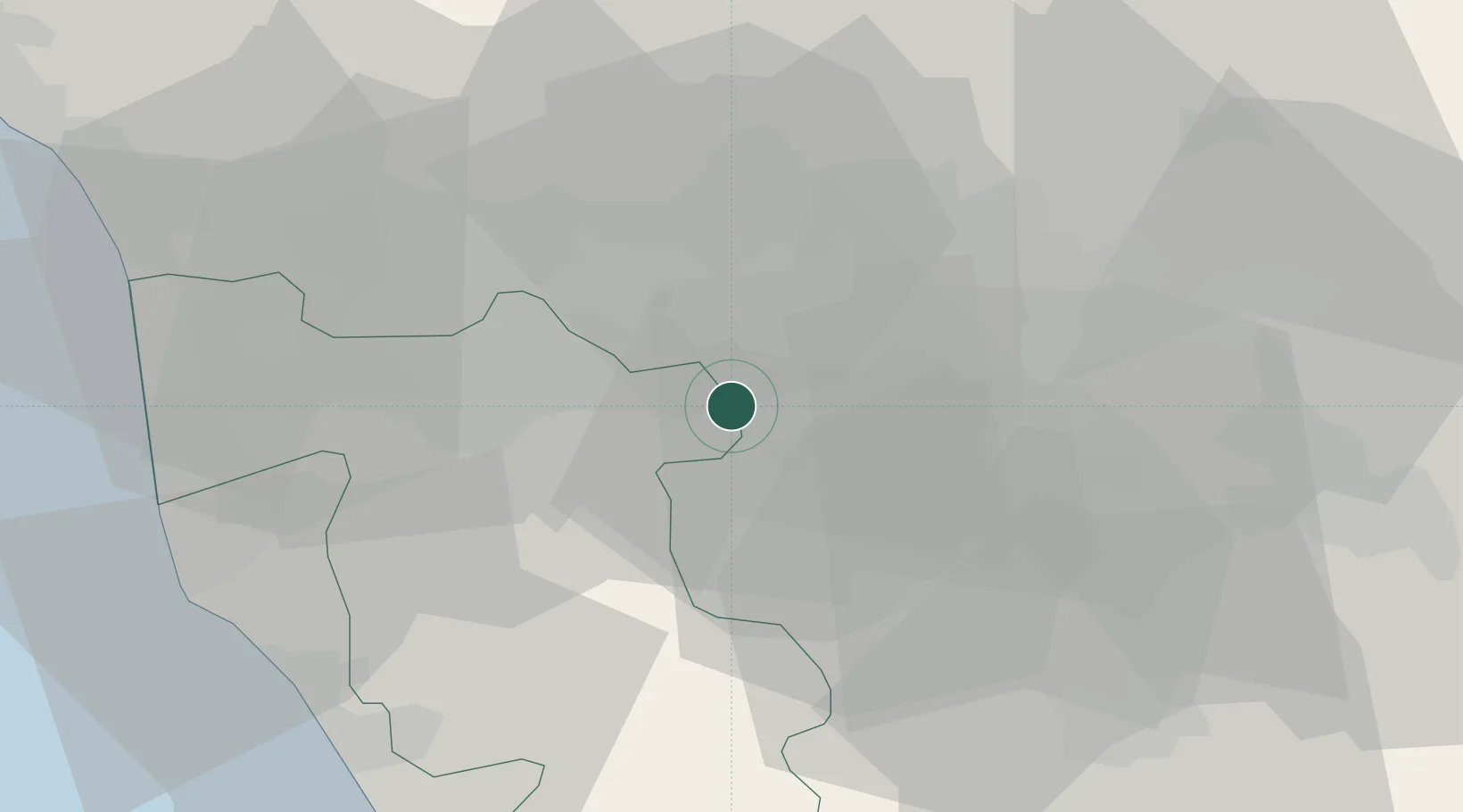
Place type
Populated place
Region
Tuscany
Population
1,146
Time zone
Europe/Rome
Elevation
49 m
Location
Nearby Logistics Neighbours
Cities
- 1Cerreto Guidi8 km
- 2Vinci11 km
- 3Castelfranco di Sotto12 km
- 4Montopoli in Val d'Arno12 km
- 5Signa19 km
Ports
- 1Livorno52 km
- 2Vada52 km
- 3Viareggio57 km
- 4Marina Di Carrara78 km
- 5Portovecchio Di Piombino88 km
Airports
Trade Zones
DatabookThe Record of Consolidated Knowledge
Italy beyond logistics?