Transport Functions
Rail
Road
Hub Profile
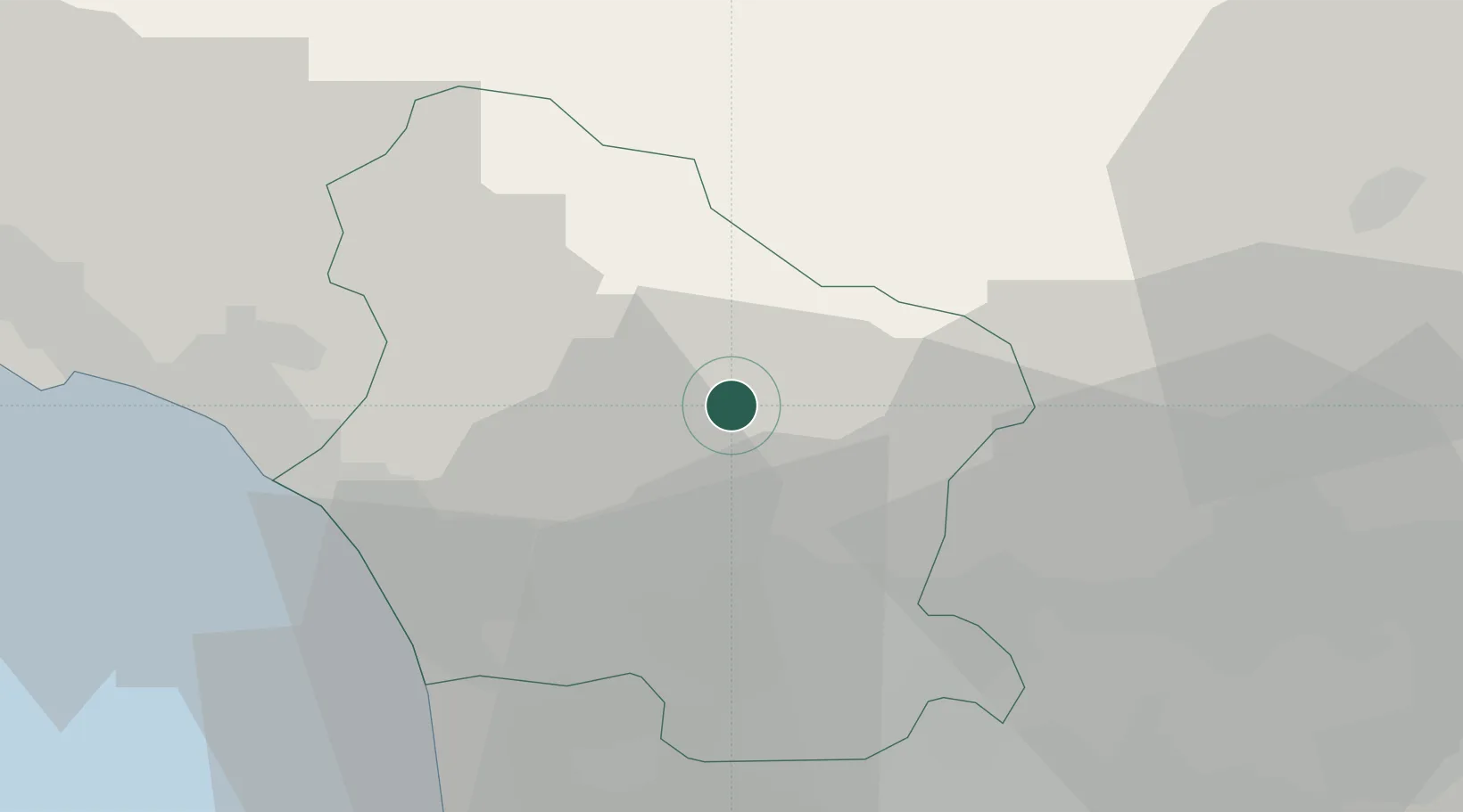
Region
LU
Location
Nearby Logistics Neighbours
Cities
- 1Barga4 km
- 2Coreglia Antelminelli4 km
- 3Gallicano7 km
- 4Pescaglia10 km
- 5Pracando15 km
Ports
- 1Viareggio29 km
- 2Marina Di Carrara36 km
- 3La Spezia54 km
- 4Livorno57 km
- 5Vada76 km
Airports
- 1Pisa International Airport40 km
- 2Sarzana-Luni Air Base41 km
- 3Florence Airport, Peretola62 km
- 4Bologna Guglielmo Marconi Airport84 km
- 5Parma Airport90 km
Trade Zones
- 1Consorzio Zona Industriale e Porto Fluviale di Padova188 km
- 2Free Port of Venice211 km
- 3Magazzini Generali Con Chiasso236 km
- 4ZFU LAriane260 km
- 5Livigno Free Trade Zone280 km
DatabookThe Record of Consolidated Knowledge
Italy beyond logistics?