UN/LOCODE hub · Italy
ITZLL
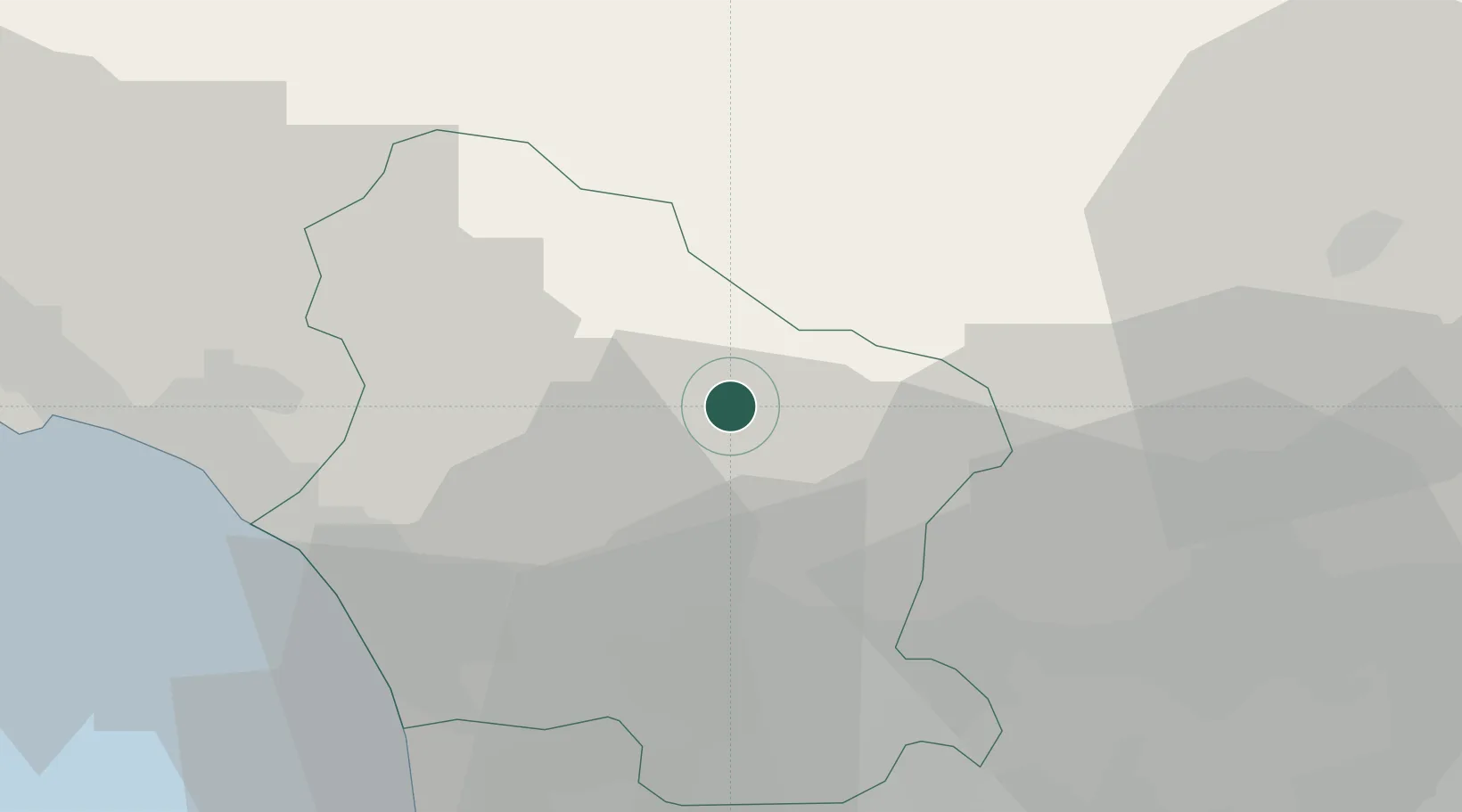
Coreglia Antelminelli
44.0667°, 10.5167°
769
Population
1
Transport functions
Transport Functions
Multimodal
Hub Profile
Place type
District seat
Region
Tuscany
Population
769
Time zone
Europe/Rome
Elevation
595 m
Location
Nearby Logistics Neighbours
Cities
- 1Barga3 km
- 2Piano di Coreglia4 km
- 3Gallicano7 km
- 4Pescaglia14 km
- 5Magnano15 km
Ports
- 1Viareggio32 km
- 2Marina Di Carrara38 km
- 3La Spezia55 km
- 4Livorno61 km
- 5Vada80 km
Airports
- 1Sarzana-Luni Air Base42 km
- 2Pisa International Airport44 km
- 3Florence Airport, Peretola62 km
- 4Bologna Guglielmo Marconi Airport81 km
- 5Parma Airport86 km
Trade Zones
- 1Consorzio Zona Industriale e Porto Fluviale di Padova184 km
- 2Free Port of Venice208 km
- 3Magazzini Generali Con Chiasso233 km
- 4ZFU LAriane261 km
- 5Livigno Free Trade Zone276 km
DatabookThe Record of Consolidated Knowledge
Italy beyond logistics?