Transport Functions
Multimodal
Hub Profile
Place type
District seat
Region
Apulia
Population
21,988
Time zone
Europe/Rome
Elevation
98 m
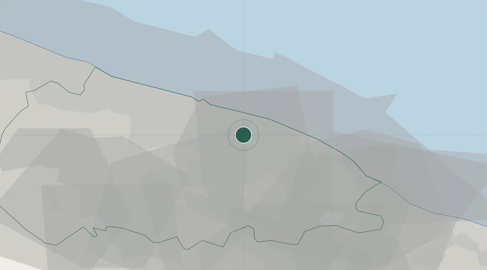
Location
Nearby Logistics Neighbours
Cities
- 1Capurso6 km
- 2Triggiano7 km
- 3Valenzano8 km
- 4Mola di Bari9 km
- 5Ceglie del Campo10 km
Ports
- 1Mola Di Bari10 km
- 2Bari17 km
- 3Monopoli29 km
- 4Molfetta38 km
- 5Bisceglie46 km
Airports
Trade Zones
DatabookThe Record of Consolidated Knowledge
Italy beyond logistics?