Medium airport · Italy

Amendola Air BaseLIBA
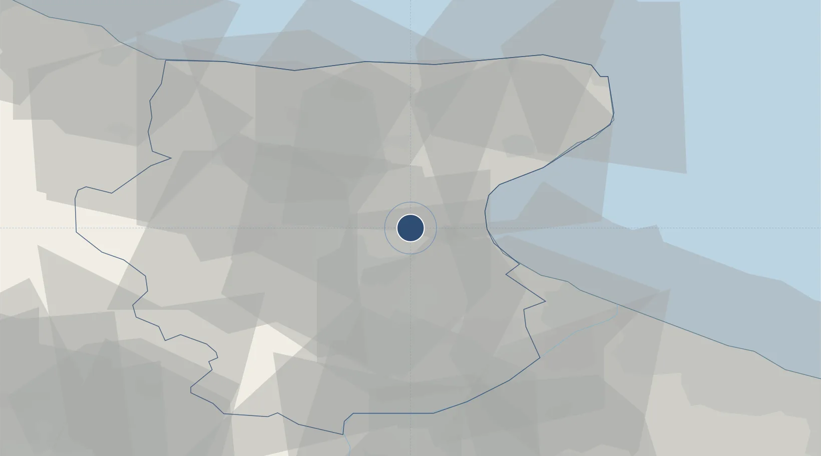
41.5384°, 15.7172°
8,727 ft
Longest runway
1
Runways
183 ft
Elevation

Runway & Layout

Amendola Air Base runway & taxiway layout
Runway & taxiway layout — OpenStreetMap (ODbL) / OurAirports

Radio Frequencies

TWR
118.2 MHz
GND
38.91 MHz
APP
118.85 MHz
OurAirports

Navaids

AME NDB Amendola 334 kHz
MNL TACAN Amendola 115.25 MHz
OurAirports

Runways · 1

RunwayDimensions SurfaceTrue headingLit
11/29 8,727 × 144ft Asphalt 114°
OurAirports

Airport Specifications

ICAO code
LIBA
OurAirports
Airport class
Medium airport
OurAirports
Scheduled service
No
OurAirports
Runway surface
Asphalt
OurAirports
Served city
San Giovanni Rotondo (FG)
OurAirports

Location

Location of LIBA
Natural Earth 10m (public domain) · Foggia · LIBA · 41.54, 15.72GoogleOSMYandex

Nearby Logistics Neighbours

Airports
  1. 1Foggia Gino Lisa Airport19 km
  2. 2Eliporto Peschici50 km
  3. 3San Domino Island Heliport67 km
  4. 4Bari Karol Wojtyła International Airport98 km
  5. 5Salerno Costa d'Amalfi Airport122 km
Nearest neighbours — logibook spatial index (haversine) over the source coordinates
Cities
  1. 1Manfredonia20 km
  2. 2Stornarella32 km
  3. 3Margherita di Savoia41 km
  4. 4Foce Varano43 km
  5. 5Lesina48 km
Nearest neighbours — logibook spatial index (haversine) over the source coordinates
Ports
  1. 1Manfredonia19 km
  2. 2Porto Di Barletta53 km
  3. 3Trani65 km
  4. 4Bisceglie74 km
  5. 5Molfetta82 km
Nearest neighbours — logibook spatial index (haversine) over the source coordinates
DatabookThe Record of Consolidated Knowledge
Italy beyond logistics?
Browse databook

All Sources

AirportsOurAirports
Public domain
Portsthe NGA World Port Index
Public domain (US gov)
LocationsUN/LOCODE
UN/LOCODE — free
Trade Zonesthe World Bank SEZ database
CC BY 4.0
Trade ZonesOpen Zone Map
CC BY
InfrastructureOpenStreetMap
ODbL 1.0
← Italy airports