Transport Functions
Multimodal
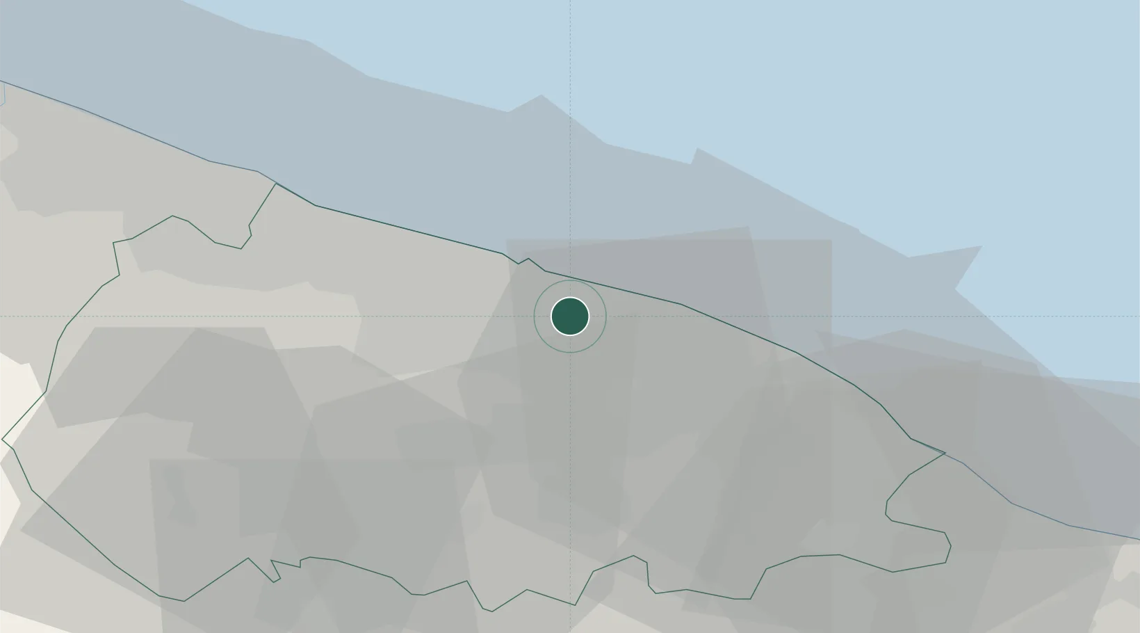
Hub Profile
Place type
District seat
Region
Apulia
Population
26,811
Time zone
Europe/Rome
Elevation
60 m
Location
Nearby Logistics Neighbours
Cities
- 1Capurso2 km
- 2Ceglie del Campo5 km
- 3Valenzano5 km
- 4Noicattaro7 km
- 5Bari10 km
Ports
- 1Bari11 km
- 2Mola Di Bari15 km
- 3Molfetta31 km
- 4Monopoli35 km
- 5Bisceglie40 km
Airports
DatabookThe Record of Consolidated Knowledge
Italy beyond logistics?