Transport Functions
Multimodal
Hub Profile
Place type
District seat
Region
Apulia
Population
13,958
Time zone
Europe/Rome
Elevation
74 m
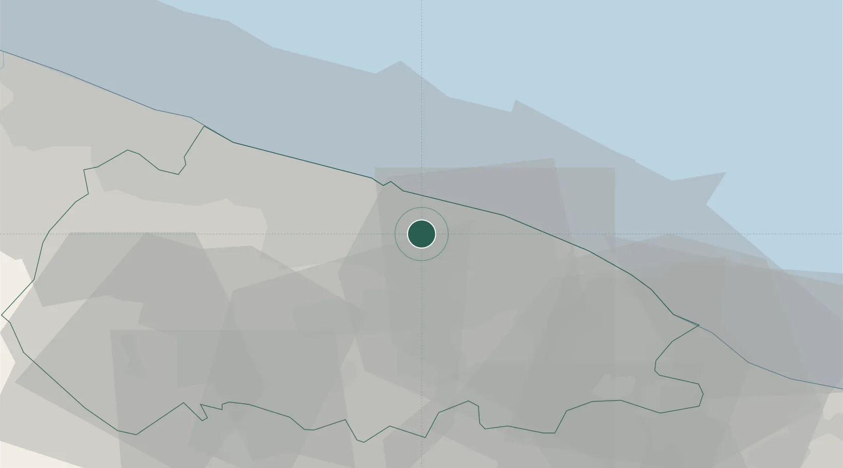
Location
Nearby Logistics Neighbours
Cities
- 1Triggiano2 km
- 2Valenzano3 km
- 3Ceglie del Campo4 km
- 4Noicattaro6 km
- 5Sannicandro di Bari11 km
Ports
- 1Bari12 km
- 2Mola Di Bari15 km
- 3Molfetta32 km
- 4Monopoli35 km
- 5Bisceglie41 km
Airports
DatabookThe Record of Consolidated Knowledge
Italy beyond logistics?