UN/LOCODE hub · Italy
ITODB

Mola di Bari

41.0667°, 17.0833°
24,682
Population
3
Transport functions

Transport Functions

Port
Rail
Road
Mola di Bari is also a profiled seaport →
UN/LOCODE

Hub Profile

Place type
District seat
GeoNames
Region
Apulia
GeoNames
Population
24,682
GeoNames
Time zone
Europe/Rome
GeoNames
Elevation
5 m
GeoNames

Location

Location of ITODB
Natural Earth 10m (public domain) · Apulia · ITODB · 41.07, 17.08GoogleOSMYandex

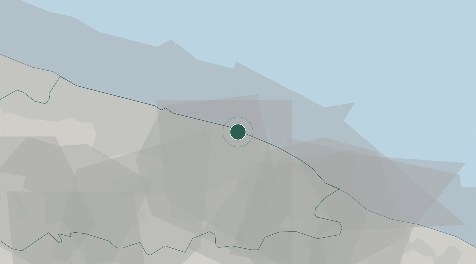
Nearby Logistics Neighbours

Cities
  1. 1Noicattaro9 km
  2. 2Conversano12 km
  3. 3Polignano a Mare13 km
  4. 4Triggiano14 km
  5. 5Capurso14 km
Nearest neighbours — logibook spatial index (haversine) over the source coordinates
Ports
  1. 1Bari22 km
  2. 2Monopoli23 km
  3. 3Molfetta44 km
  4. 4Bisceglie52 km
  5. 5Trani60 km
Nearest neighbours — logibook spatial index (haversine) over the source coordinates
Airports
  1. 1Bari Karol Wojtyła International Airport28 km
  2. 2Gioia del Colle Antonio Ramirez Air Base36 km
  3. 3Taranto-Grottaglie Marcello Arlotta Airport67 km
  4. 4Brindisi Airport86 km
  5. 5Amendola Air Base126 km
Nearest neighbours — logibook spatial index (haversine) over the source coordinates
DatabookThe Record of Consolidated Knowledge
Italy beyond logistics?
Browse databook

All Sources

LocationsUN/LOCODE
UN/LOCODE — free
LocationsGeoNames
CC BY 4.0
Portsthe NGA World Port Index
Public domain (US gov)
AirportsOurAirports
Public domain
Trade Zonesthe World Bank SEZ database
CC BY 4.0
Trade ZonesOpen Zone Map
CC BY
← Italy locations