Transport Functions
Rail
Multimodal
Postal
Hub Profile
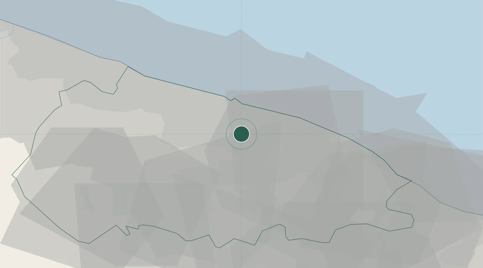
Place type
District seat
Region
Apulia
Population
16,101
Time zone
Europe/Rome
Elevation
85 m
Location
Nearby Logistics Neighbours
Cities
- 1Ceglie del Campo2 km
- 2Capurso3 km
- 3Triggiano5 km
- 4Sannicandro di Bari8 km
- 5Noicattaro8 km
Ports
- 1Bari13 km
- 2Mola Di Bari18 km
- 3Molfetta31 km
- 4Monopoli37 km
- 5Bisceglie39 km
Airports
DatabookThe Record of Consolidated Knowledge
Italy beyond logistics?