Transport Functions
Multimodal
Hub Profile
Place type
District seat
Region
Apulia
Population
15,898
Time zone
Europe/Rome
Elevation
107 m
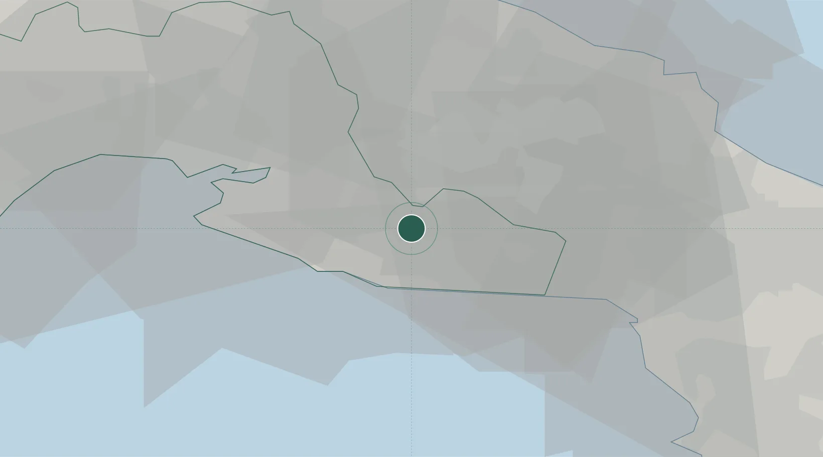
Location
Nearby Logistics Neighbours
Cities
- 1San Marzano di San Giuseppe7 km
- 2Manduria7 km
- 3Grottaglie18 km
- 4Latiano22 km
- 5Jajce27 km
Ports
- 1Taranto31 km
- 2Brindisi46 km
- 3Gallipoli53 km
- 4Monopoli65 km
- 5Mola Di Bari83 km
Airports
Trade Zones
DatabookThe Record of Consolidated Knowledge
Italy beyond logistics?