Transport Functions
Port
Rail
Road
Hub Profile
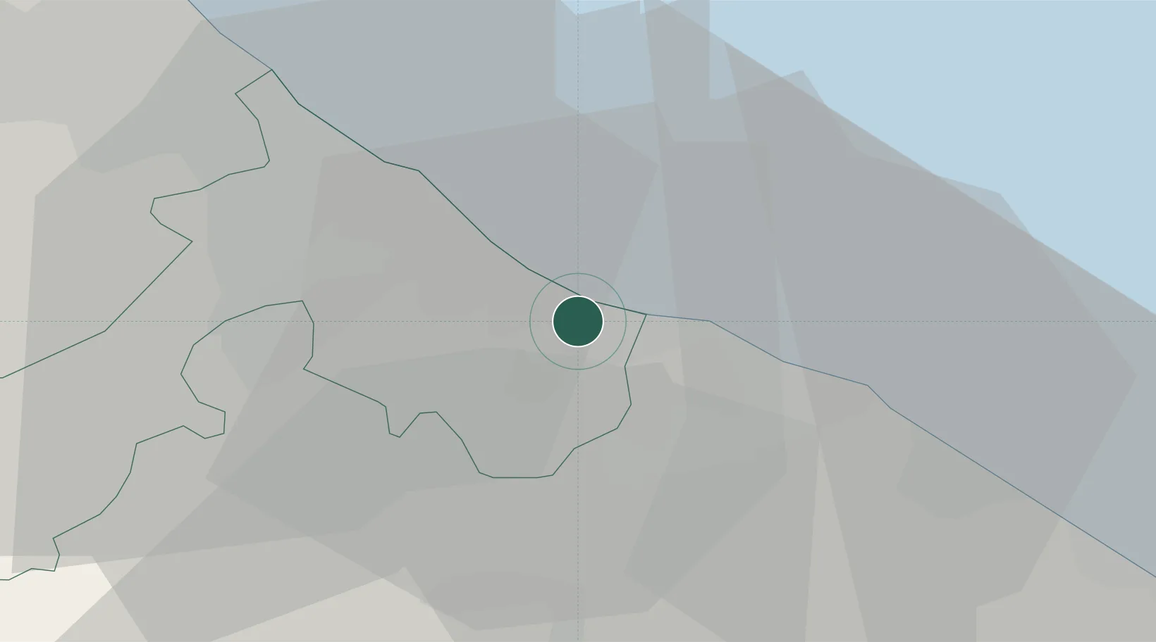
Place type
District seat
Region
Emilia-Romagna
Population
4,325
Time zone
Europe/Rome
Elevation
3 m
Location
Nearby Logistics Neighbours
Cities
- 1Cattolica3 km
- 2Riccione4 km
- 3Gabicce Mare5 km
- 4Casalecchio8 km
- 5Miramare10 km
Ports
- 1Rimini16 km
- 2Pesaro17 km
- 3Fano28 km
- 4Cesenatico36 km
- 5Senigallia50 km
Airports
Trade Zones
DatabookThe Record of Consolidated Knowledge
Italy beyond logistics?