UN/LOCODE hub · Italy
ITZTW

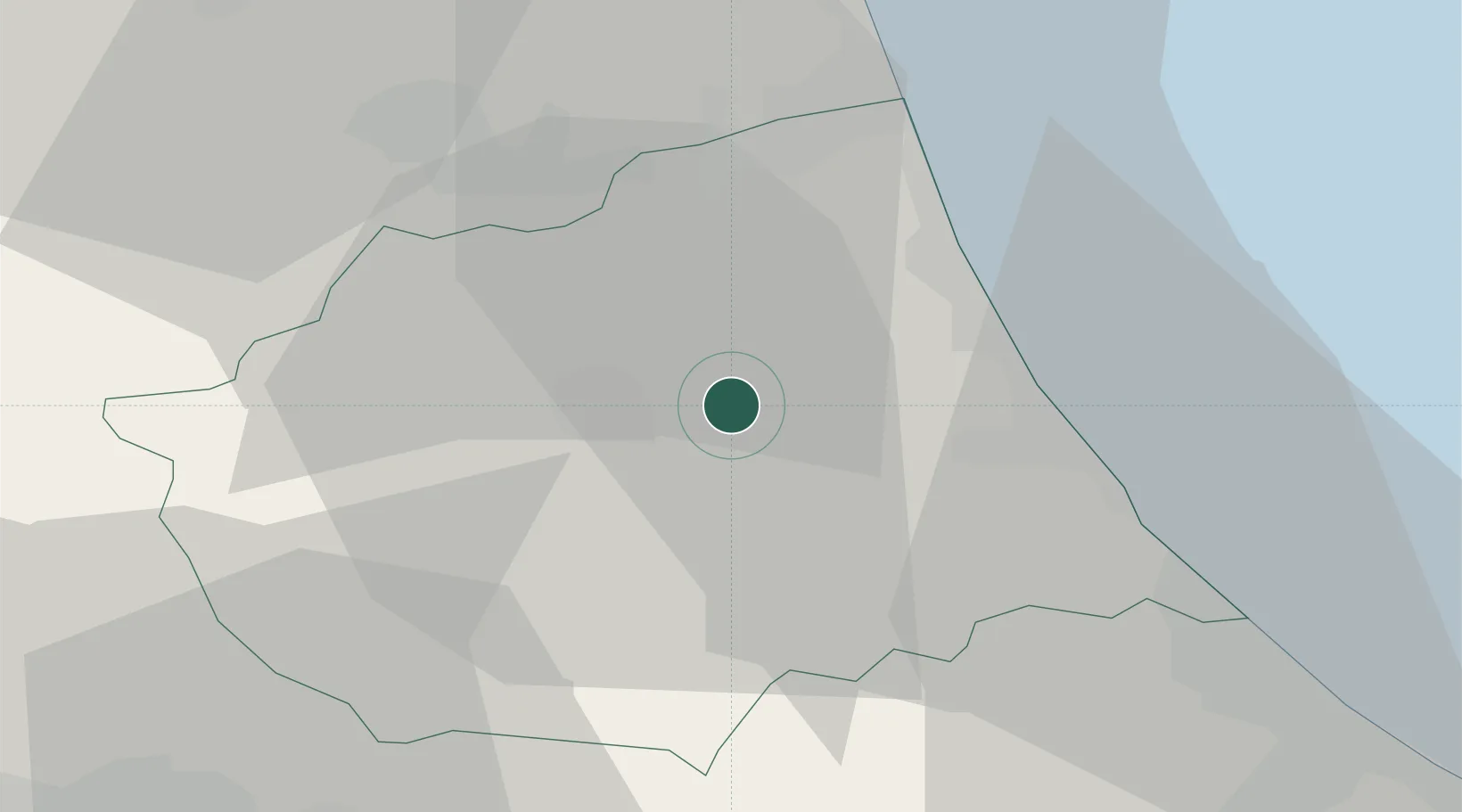
San Nicolò a Tordino

42.6833°, 13.7833°
5,092
Population
1
Transport functions

Transport Functions

Multimodal
UN/LOCODE

Hub Profile

Place type
Populated place
GeoNames
Region
Abruzzo
GeoNames
Population
5,092
GeoNames
Time zone
Europe/Rome
GeoNames
Elevation
138 m
GeoNames

Location

Location of ITZTW
Natural Earth 10m (public domain) · Abruzzo · ITZTW · 42.68, 13.78GoogleOSMYandex

Nearby Logistics Neighbours

Cities
  1. 1Sant'Atto2 km
  2. 2Villa Rosa3 km
  3. 3Castellalto3 km
  4. 4Teramo8 km
  5. 5Notaresco9 km
Nearest neighbours — logibook spatial index (haversine) over the source coordinates
Ports
  1. 1Giulianova18 km
  2. 2San Benedetto Del Tronto32 km
  3. 3Pescara44 km
  4. 4Ortona64 km
  5. 5Civitanova Marche71 km
Nearest neighbours — logibook spatial index (haversine) over the source coordinates
Airports
  1. 1Abruzzo Airport43 km
  2. 2Marche Airport109 km
  3. 3Perugia San Francesco d'Assisi – Umbria International Airport113 km
  4. 4Guidonia Air Base115 km
  5. 5Rome Urbe Airport133 km
Nearest neighbours — logibook spatial index (haversine) over the source coordinates
Trade Zones
  1. 1Abruzzo Special Economic Zone57 km
  2. 2Ionian Special Economic Zone109 km
  3. 3Campania Special Economic Zone (Naples and Salerno)216 km
  4. 4Port of Split Free Zone233 km
  5. 5Split-Dalmatia Free Zone237 km
Nearest neighbours — logibook spatial index (haversine) over the source coordinates
DatabookThe Record of Consolidated Knowledge
Italy beyond logistics?
Browse databook

All Sources

LocationsUN/LOCODE
UN/LOCODE — free
LocationsGeoNames
CC BY 4.0
Portsthe NGA World Port Index
Public domain (US gov)
AirportsOurAirports
Public domain
Trade Zonesthe World Bank SEZ database
CC BY 4.0
Trade ZonesOpen Zone Map
CC BY
← Italy locations