Transport Functions
Port
Road
Hub Profile
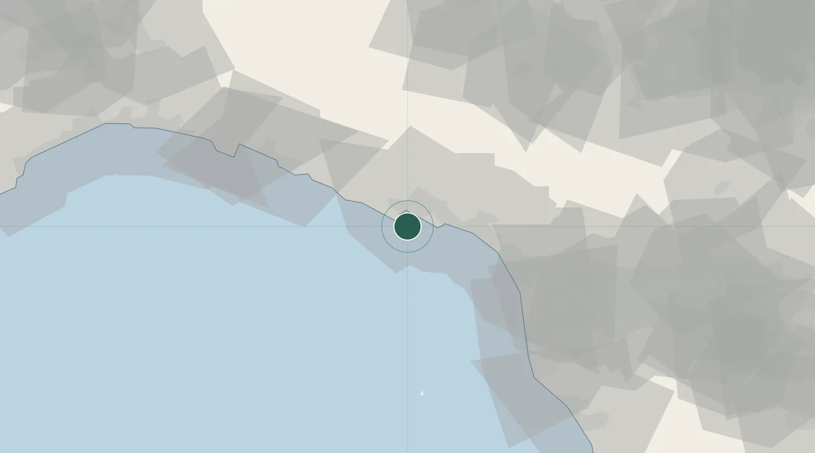
Place type
District seat
Region
Liguria
Population
1,025
Time zone
Europe/Rome
Elevation
8 m
Location
Nearby Logistics Neighbours
Cities
- 1Lerici6 km
- 2La Spezia8 km
- 3Vezzano Ligure11 km
- 4Riomaggiore11 km
- 5Casella13 km
Ports
- 1La Spezia6 km
- 2Marina Di Carrara16 km
- 3Viareggio37 km
- 4Chiavari - Lavagna51 km
- 5Livorno67 km
Airports
Trade Zones
- 1ZFU LAriane208 km
- 2Magazzini Generali Con Chiasso212 km
- 3Consorzio Zona Industriale e Porto Fluviale di Padova222 km
- 4Free Port of Venice248 km
- 5Livigno Free Trade Zone277 km
DatabookThe Record of Consolidated Knowledge
Italy beyond logistics?