Transport Functions
Multimodal
Hub Profile
Place type
District seat
Region
Tuscany
Population
2,301
Time zone
Europe/Rome
Elevation
475 m
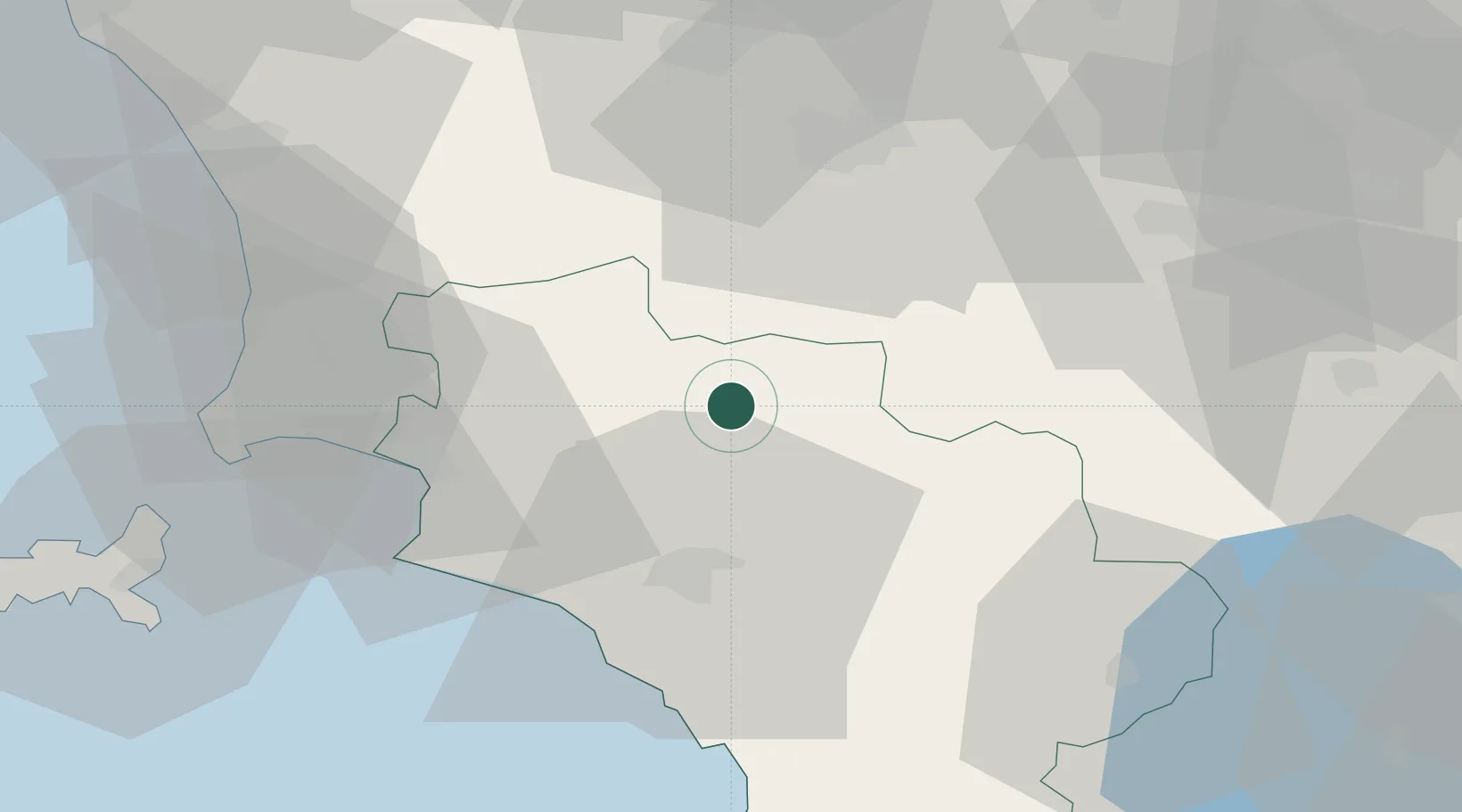
Location
Nearby Logistics Neighbours
Cities
- 1Fonteblanda32 km
- 2Castiglione della Pescaia35 km
- 3Marina di Grosseto35 km
- 4Follonica35 km
- 5San Quirico d'Orcia36 km
Ports
- 1Portovecchio Di Piombino50 km
- 2Porto Santo Stefano62 km
- 3Porto Ercole66 km
- 4Vada70 km
- 5Portoferraio71 km
Airports
Trade Zones
DatabookThe Record of Consolidated Knowledge
Italy beyond logistics?