Transport Functions
Rail
Multimodal
Postal
Hub Profile
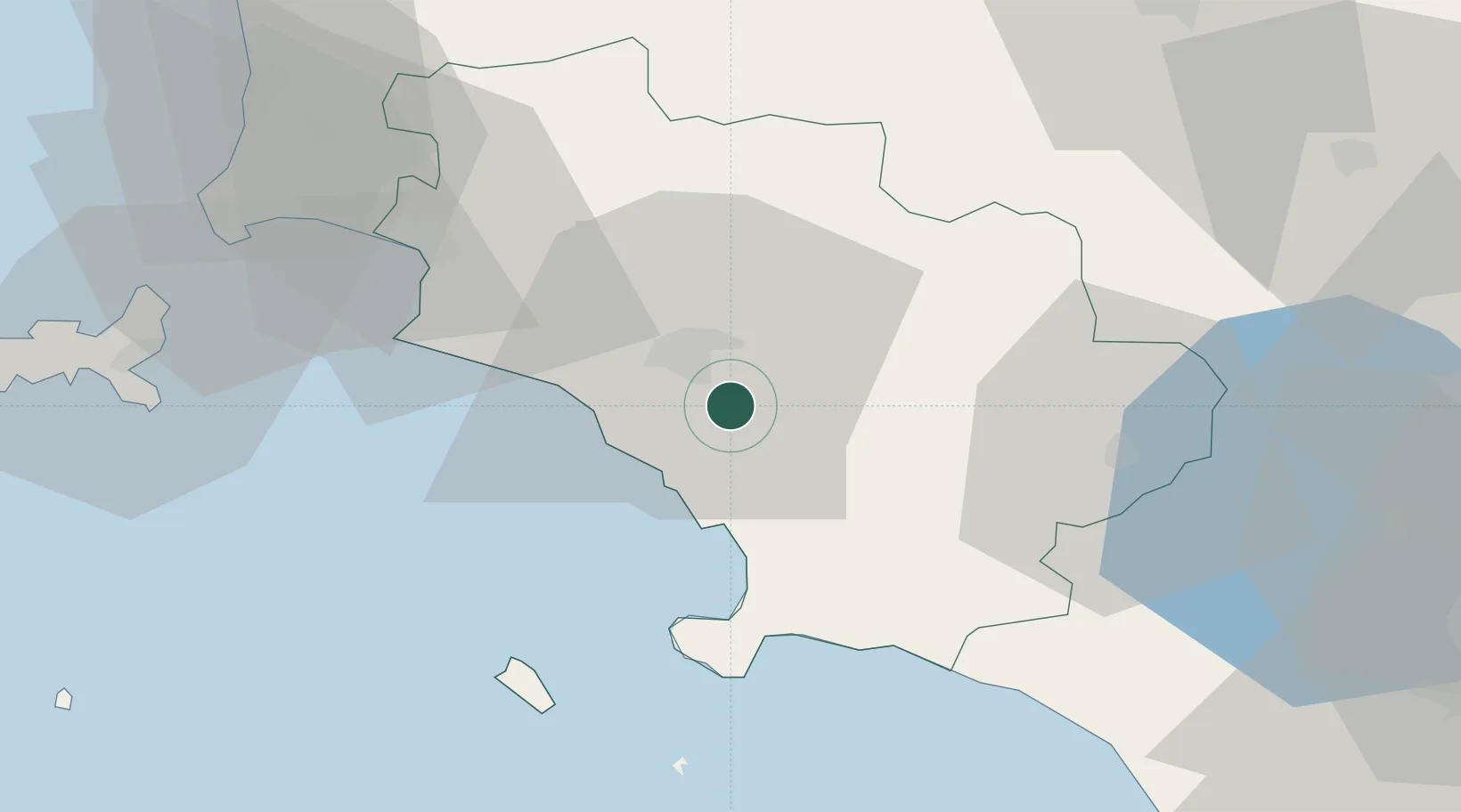
Place type
Populated place
Region
Tuscany
Population
1,088
Time zone
Europe/Rome
Elevation
13 m
Location
Nearby Logistics Neighbours
Cities
- 1Marina di Grosseto15 km
- 2Castiglione della Pescaia24 km
- 3Albinia24 km
- 4Orbetello30 km
- 5Roccastrada32 km
Ports
- 1Porto Santo Stefano31 km
- 2Porto Ercole35 km
- 3Giglio Porto44 km
- 4Portovecchio Di Piombino55 km
- 5Portoferraio69 km
Airports
DatabookThe Record of Consolidated Knowledge
Italy beyond logistics?