UN/LOCODE hub · Italy
ITMSD
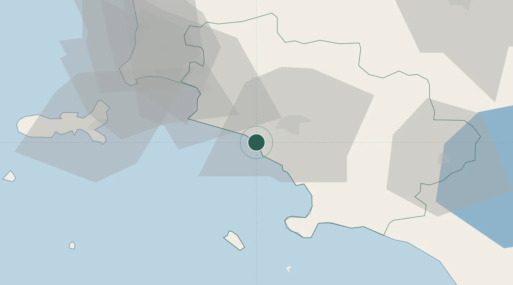
Marina di Grosseto
42.7167°, 10.9833°
2,115
Population
2
Transport functions
Transport Functions
Port
Road
Hub Profile
Place type
Populated place
Region
Tuscany
Population
2,115
Time zone
Europe/Rome
Elevation
1 m
Location
Nearby Logistics Neighbours
Cities
- 1Castiglione della Pescaia10 km
- 2Fonteblanda15 km
- 3Follonica29 km
- 4Albinia30 km
- 5Roccastrada35 km
Ports
- 1Porto Santo Stefano33 km
- 2Porto Ercole40 km
- 3Giglio Porto40 km
- 4Portovecchio Di Piombino42 km
- 5Portoferraio54 km
Airports
DatabookThe Record of Consolidated Knowledge
Italy beyond logistics?