Transport Functions
Port
Hub Profile
Place type
District seat
Region
Tuscany
Population
21,163
Time zone
Europe/Rome
Elevation
4 m
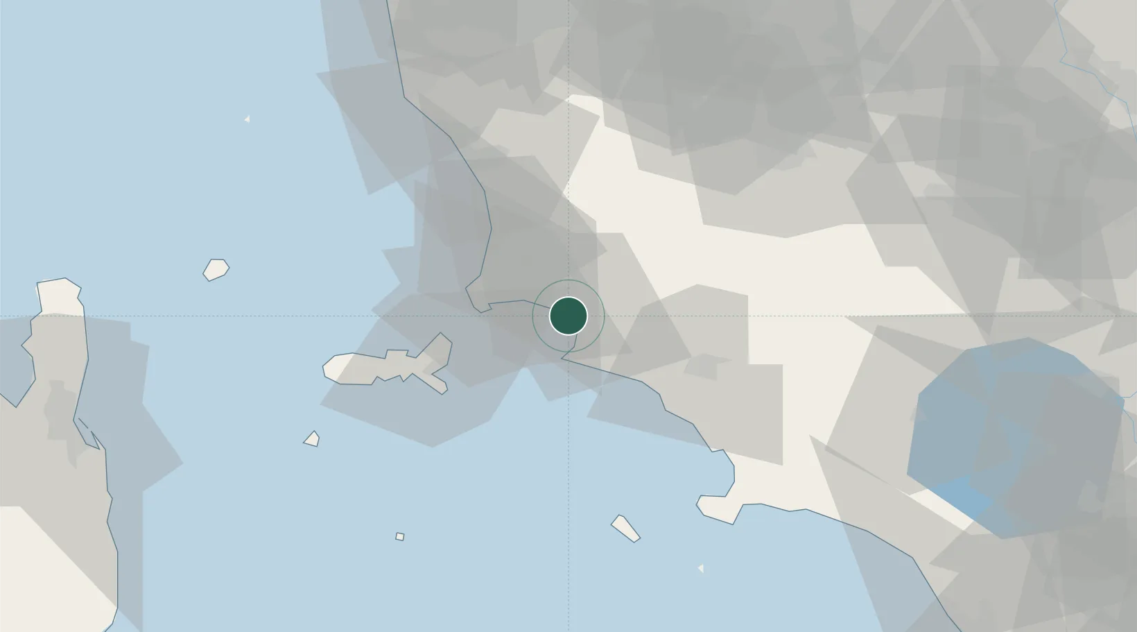
Location
Nearby Logistics Neighbours
Cities
- 1Suvereto20 km
- 2Castiglione della Pescaia20 km
- 3Cavo28 km
- 4Marina di Grosseto29 km
- 5Donoratico32 km
Ports
- 1Portovecchio Di Piombino16 km
- 2Portoferraio36 km
- 3Vada54 km
- 4Porto Santo Stefano61 km
- 5Giglio Porto63 km
Airports
Trade Zones
DatabookThe Record of Consolidated Knowledge
Italy beyond logistics?