Transport Functions
Multimodal
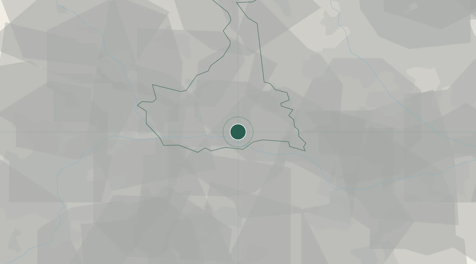
Hub Profile
Place type
District seat
Region
Piedmont
Population
691
Time zone
Europe/Rome
Elevation
141 m
Location
Nearby Logistics Neighbours
Cities
- 1Costanzana4 km
- 2San Giorgio Monferrato17 km
- 3Sala Monferrato17 km
- 4Crescentino18 km
- 5Santhià19 km
Ports
- 1Savona103 km
- 2Genova104 km
- 3Rada Di Vado108 km
- 4Chiavari - Lavagna130 km
- 5Imperia152 km
Airports
- 1Biella-Cerrione Airfield34 km
- 2Cameri Air Base43 km
- 3Turin Airport52 km
- 4Milan Malpensa International Airport55 km
- 5Torino-Aeritalia Airport58 km
Trade Zones
- 1Magazzini Generali Con Chiasso84 km
- 2Aosta Valley130 km
- 3ZFU LAriane185 km
- 4Port Franc Vevey193 km
- 5Livigno Free Trade Zone200 km
DatabookThe Record of Consolidated Knowledge
Italy beyond logistics?