Transport Functions
Road
Multimodal
Hub Profile
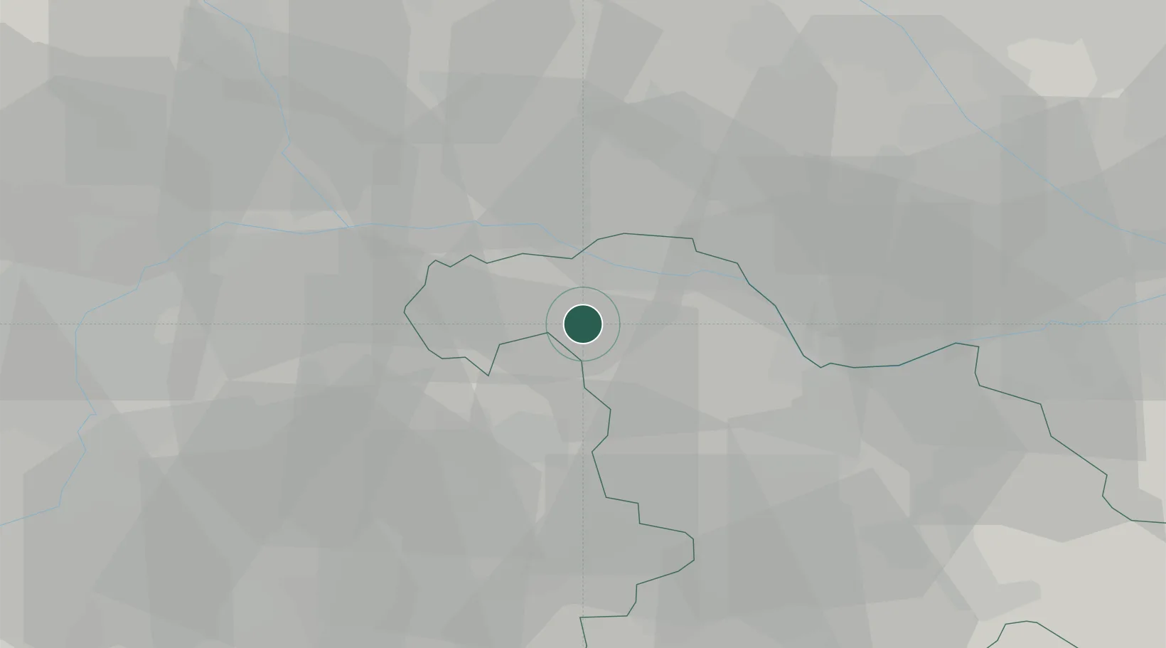
Place type
District seat
Region
Piedmont
Population
339
Time zone
Europe/Rome
Elevation
264 m
Location
Nearby Logistics Neighbours
Cities
- 1San Giorgio Monferrato6 km
- 2Castell'Alfero15 km
- 3Ticineto16 km
- 4Costanzana17 km
- 5Tricerro17 km
Ports
- 1Savona86 km
- 2Genova89 km
- 3Rada Di Vado91 km
- 4Chiavari - Lavagna116 km
- 5Imperia136 km
Airports
- 1Novi Ligure Eugenio Mossi Airfield48 km
- 2Biella-Cerrione Airfield50 km
- 3Cameri Air Base56 km
- 4Turin Airport57 km
- 5Torino-Aeritalia Airport59 km
Trade Zones
- 1Magazzini Generali Con Chiasso97 km
- 2Aosta Valley140 km
- 3ZFU LAriane171 km
- 4Port Franc Vevey207 km
- 5ZFU Grenoble210 km
DatabookThe Record of Consolidated Knowledge
Italy beyond logistics?