Transport Functions
Road
Multimodal
Hub Profile
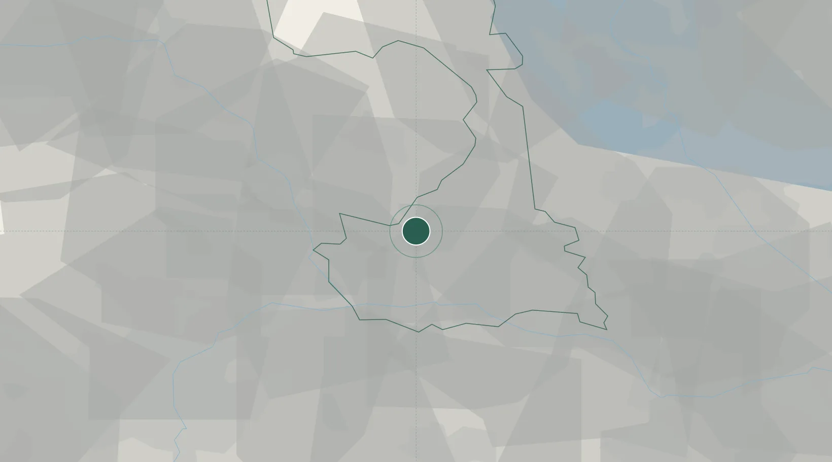
Place type
District seat
Region
Piedmont
Population
8,079
Time zone
Europe/Rome
Elevation
183 m
Location
Nearby Logistics Neighbours
Cities
- 1Livorno Ferraris11 km
- 2Formigliana12 km
- 3Azeglio14 km
- 4Benna17 km
- 5Borriana18 km
Ports
- 1Savona120 km
- 2Genova123 km
- 3Rada Di Vado125 km
- 4Chiavari - Lavagna149 km
- 5Imperia165 km
Airports
- 1Biella-Cerrione Airfield15 km
- 2Cameri Air Base43 km
- 3Turin Airport45 km
- 4Milan Malpensa International Airport53 km
- 5Torino-Aeritalia Airport54 km
Trade Zones
- 1Magazzini Generali Con Chiasso81 km
- 2Aosta Valley113 km
- 3Port Franc Vevey174 km
- 4Geneva Freeport, La Praille, Geneva183 km
- 5Port Franc de Geneve185 km
DatabookThe Record of Consolidated Knowledge
Italy beyond logistics?