Transport Functions
Rail
Road
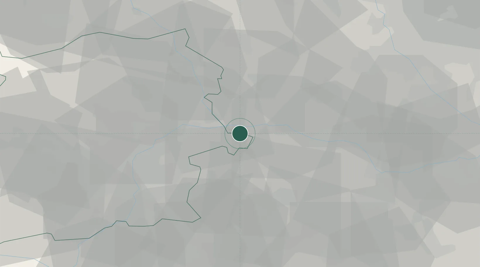
Hub Profile
Place type
District seat
Region
Piedmont
Population
6,003
Time zone
Europe/Rome
Elevation
154 m
Location
Nearby Logistics Neighbours
Cities
- 1Livorno Ferraris11 km
- 2Piovà Massaia15 km
- 3Cinzano16 km
- 4Tricerro18 km
- 5Castelnuovo don Bosco18 km
Ports
- 1Savona101 km
- 2Rada Di Vado106 km
- 3Genova109 km
- 4Chiavari - Lavagna138 km
- 5Imperia145 km
Airports
- 1Biella-Cerrione Airfield35 km
- 2Turin Airport35 km
- 3Torino-Aeritalia Airport41 km
- 4Cameri Air Base59 km
- 5Milan Malpensa International Airport70 km
Trade Zones
- 1Magazzini Generali Con Chiasso99 km
- 2Aosta Valley117 km
- 3ZFU LAriane172 km
- 4Port Franc Vevey186 km
- 5ZFU Grenoble190 km
DatabookThe Record of Consolidated Knowledge
Italy beyond logistics?