Large airport · Italy
Turin AirportLIMF
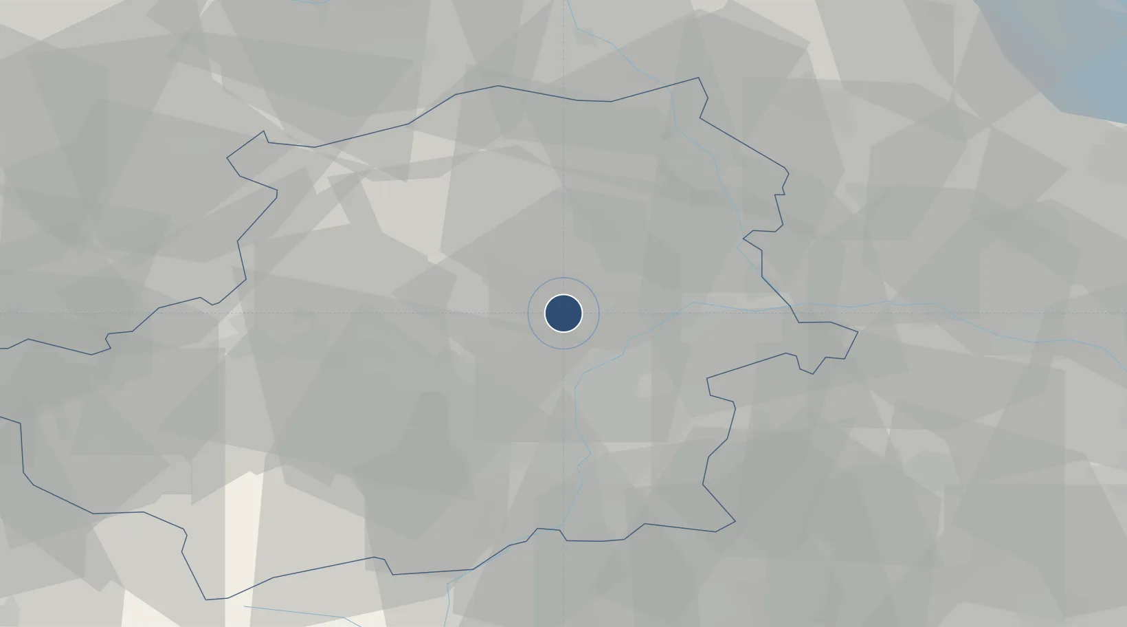
45.2008°, 7.6496°
10,827 ft
Longest runway
1
Runways
989 ft
Elevation
Runway & Layout

Radio Frequencies
ATIS
120.475 MHz
TWR
118.5 MHz
GND
121.705 MHz
APP
23.44 MHz
APP
129.275 MHz
Navaids
CAS TACAN Caselle 109.50 MHz
CAS NDB Caselle 357 kHz
CSL VOR-DME Caselle 116.75 MHz
TOP VOR-DME Torino 114.50 MHz
TOP NDB Torino 393 kHz
Runways · 1
| Runway | Dimensions | Surface | True heading | Lit |
|---|---|---|---|---|
| 18/36 | 10,827 × 197ft | Asphalt | 183° | ✓ |
Airport Specifications
IATA code
TRN
ICAO code
LIMF
Airport class
Large airport
Scheduled service
Yes
Runway surface
Asphalt
Served city
Caselle Torinese (TO)
Location
Nearby Logistics Neighbours
Airports
- 1Torino-Aeritalia Airport13 km
- 2Biella-Cerrione Airfield48 km
- 3Aosta Corrado Gex Airport64 km
- 4Cuneo International Airport73 km
- 5Cameri Air Base88 km
Cities
- 1Venaria Reale8 km
- 2Druento9 km
- 3Front9 km
- 4San Mauro Torinese15 km
- 5Rivara15 km
Ports
- 1Savona119 km
- 2Rada Di Vado122 km
- 3Genova134 km
- 4Imperia150 km
- 5San Remo154 km
Trade Zones
- 1Aosta Valley88 km
- 2Magazzini Generali Con Chiasso124 km
- 3ZFU Grenoble154 km
- 4Geneva Freeport, La Praille, Geneva161 km
- 5Port Franc de Geneve163 km
DatabookThe Record of Consolidated Knowledge
Italy beyond logistics?