UN/LOCODE hub · Italy
ITBRI
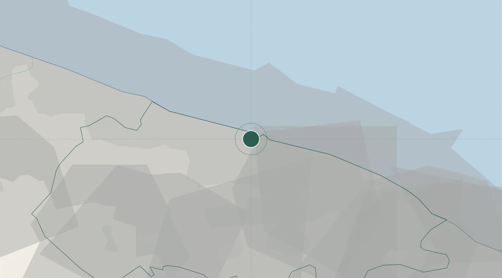
Bari
41.1268°, 16.8286°
316,491
Population
3
Transport functions
1
Container terminals
Transport Functions
Port
Road
Airport
Hub Profile
Place type
Regional capital
Region
Apulia
Population
316,491
Time zone
Europe/Rome
Elevation
5 m
Logistics facilities
7
Container terminals
1
Location
Nearby Logistics Neighbours
Cities
- 1Ceglie del Campo9 km
- 2Triggiano10 km
- 3Capurso11 km
- 4Valenzano11 km
- 5Palo del Colle14 km
Ports
- 1Molfetta22 km
- 2Mola Di Bari24 km
- 3Bisceglie30 km
- 4Trani38 km
- 5Monopoli45 km
Airports
Trade Zones
DatabookThe Record of Consolidated Knowledge
Italy beyond logistics?