Transport Functions
Rail
Road
Hub Profile
Place type
District seat
Region
Lazio
Population
2,861
Time zone
Europe/Rome
Elevation
196 m
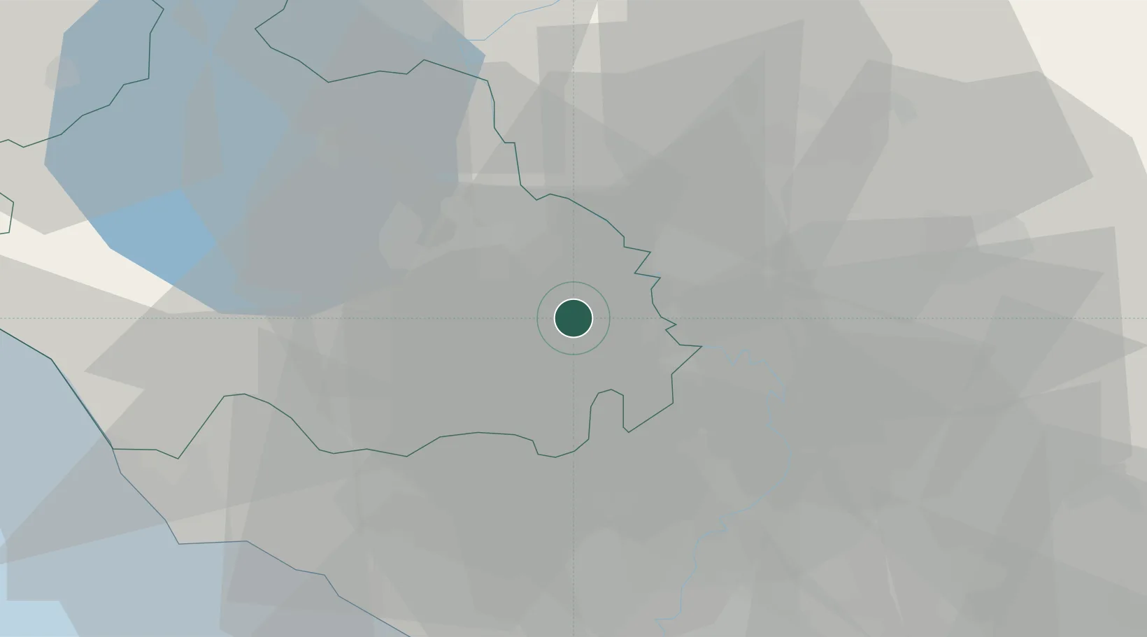
Location
Nearby Logistics Neighbours
Cities
- 1Castel Sant'Elia9 km
- 2Caprarola10 km
- 3Nepi11 km
- 4Magliano Sabina12 km
- 5Soriano nel Cimino13 km
Ports
- 1Civitavecchia54 km
- 2Fiumicino63 km
- 3Porto Ercole94 km
- 4Anzio - Nettuno102 km
- 5Porto Santo Stefano102 km
Airports
Trade Zones
DatabookThe Record of Consolidated Knowledge
Italy beyond logistics?