Transport Functions
Road
Multimodal
Hub Profile
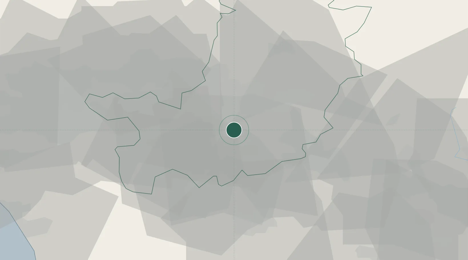
Place type
District seat
Region
Tuscany
Population
4,576
Time zone
Europe/Rome
Elevation
275 m
Location
Nearby Logistics Neighbours
Cities
- 1Peretola12 km
- 2Badia a Settimo14 km
- 3Incisa In Val d'Arno16 km
- 4Sieci16 km
- 5Rignano sull'Arno17 km
Ports
- 1Vada74 km
- 2Livorno79 km
- 3Viareggio84 km
- 4Portovecchio Di Piombino101 km
- 5Marina Di Carrara104 km
Airports
Trade Zones
DatabookThe Record of Consolidated Knowledge
Italy beyond logistics?