UN/LOCODE hub · Italy
ITDEI

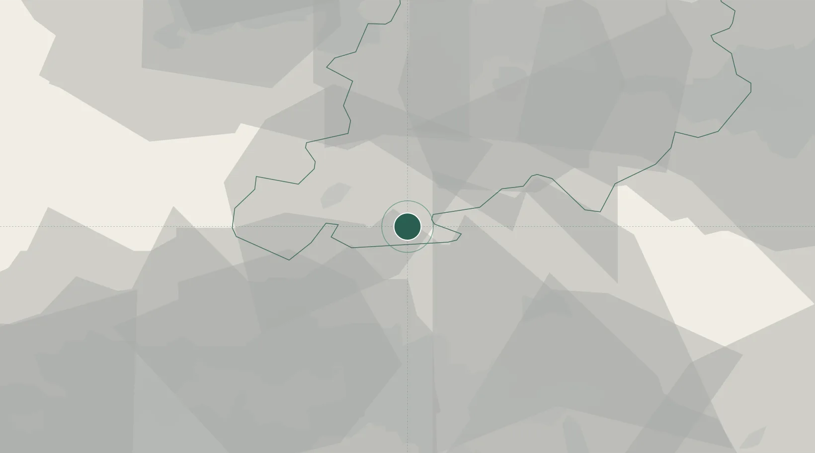
Castiglione dei Pepoli

44.1333°, 11.1500°
2,761
Population
2
Transport functions

Transport Functions

Rail
Road
UN/LOCODE

Hub Profile

Place type
District seat
GeoNames
Region
Emilia-Romagna
GeoNames
Population
2,761
GeoNames
Time zone
Europe/Rome
GeoNames
Elevation
691 m
GeoNames

Location

Location of ITDEI
Natural Earth 10m (public domain) · Emilia-Romagna · ITDEI · 44.13, 11.15GoogleOSMYandex

Nearby Logistics Neighbours

Cities
  1. 1Riola16 km
  2. 2Vaiano19 km
  3. 3Marzabotto23 km
  4. 4Montale25 km
  5. 5Montemurlo25 km
Nearest neighbours — logibook spatial index (haversine) over the source coordinates
Ports
  1. 1Viareggio79 km
  2. 2Marina Di Carrara89 km
  3. 3Livorno95 km
  4. 4Porto Di Corsini99 km
  5. 5Cesenatico101 km
Nearest neighbours — logibook spatial index (haversine) over the source coordinates
Airports
  1. 1Florence Airport, Peretola36 km
  2. 2Bologna Guglielmo Marconi Airport46 km
  3. 3Forlì-Luigi Ridolfi International Airport74 km
  4. 4Pisa International Airport79 km
  5. 5Cervia Air Base93 km
Nearest neighbours — logibook spatial index (haversine) over the source coordinates
Trade Zones
  1. 1Consorzio Zona Industriale e Porto Fluviale di Padova152 km
  2. 2Free Port of Venice171 km
  3. 3Port of Pula Free Zone228 km
  4. 4Magazzini Generali Con Chiasso257 km
  5. 5Free Port of Trieste265 km
Nearest neighbours — logibook spatial index (haversine) over the source coordinates
DatabookThe Record of Consolidated Knowledge
Italy beyond logistics?
Browse databook

All Sources

LocationsUN/LOCODE
UN/LOCODE — free
LocationsGeoNames
CC BY 4.0
Portsthe NGA World Port Index
Public domain (US gov)
AirportsOurAirports
Public domain
Trade Zonesthe World Bank SEZ database
CC BY 4.0
Trade ZonesOpen Zone Map
CC BY
← Italy locations