Transport Functions
Rail
Hub Profile
Place type
District seat
Region
Lazio
Population
2,075
Time zone
Europe/Rome
Elevation
222 m
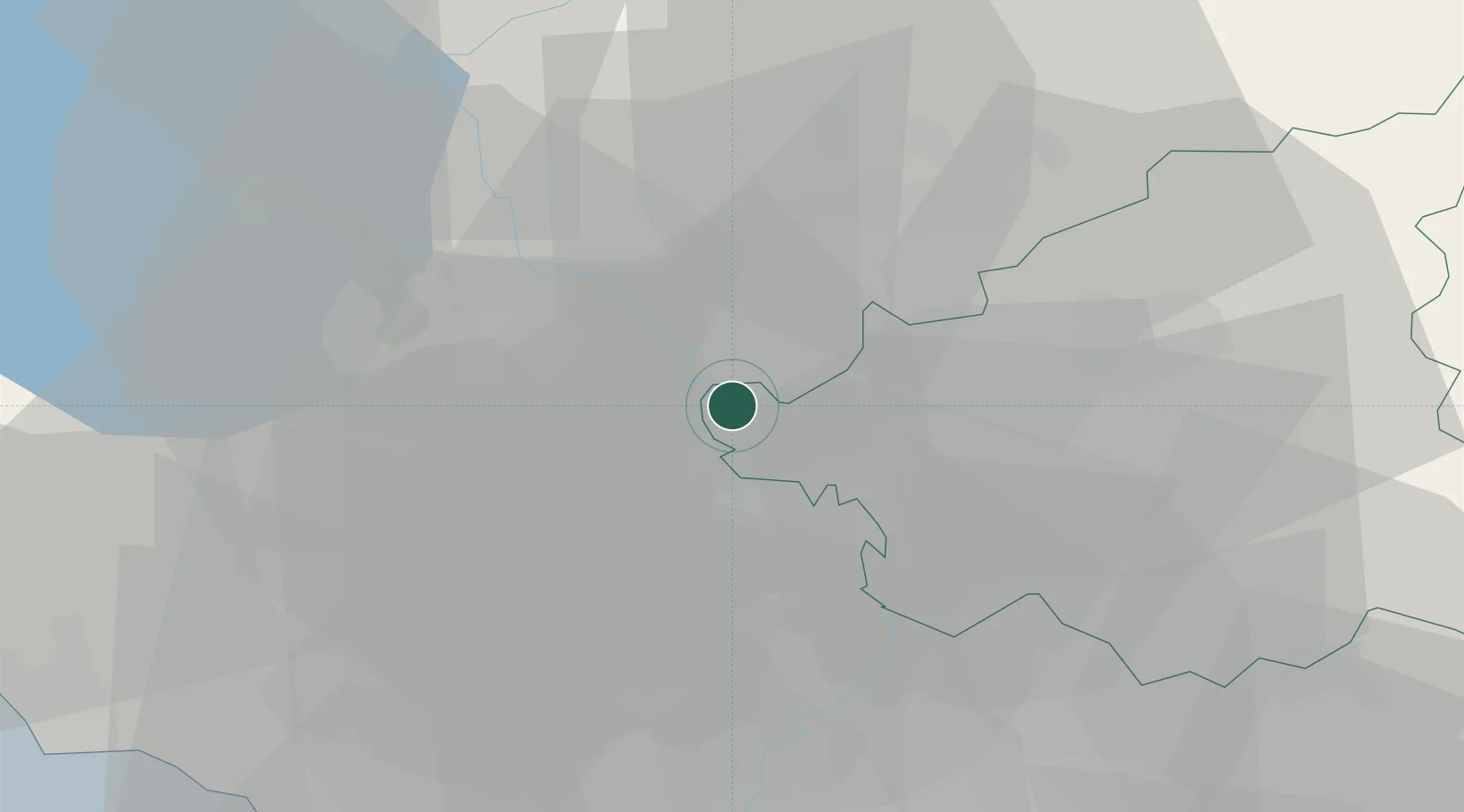
Location
Nearby Logistics Neighbours
Cities
- 1Otricoli6 km
- 2Calvi dell'Umbria8 km
- 3Corchiano12 km
- 4Castel Sant'Elia16 km
- 5Narni17 km
Ports
- 1Civitavecchia66 km
- 2Fiumicino70 km
- 3Anzio - Nettuno103 km
- 4Porto Ercole104 km
- 5Porto Santo Stefano112 km
Airports
Trade Zones
DatabookThe Record of Consolidated Knowledge
Italy beyond logistics?