UN/LOCODE hub · Italy
ITZTH

Santadi

39.0833°, 8.7000°
2,008
Population
1
Transport functions

Transport Functions

Multimodal
UN/LOCODE

Hub Profile

Place type
District seat
GeoNames
Region
Sardinia
GeoNames
Population
2,008
GeoNames
Time zone
Europe/Rome
GeoNames
Elevation
135 m
GeoNames

Location

Location of ITZTH
Natural Earth 10m (public domain) · Sardinia · ITZTH · 39.08, 8.70GoogleOSMYandex

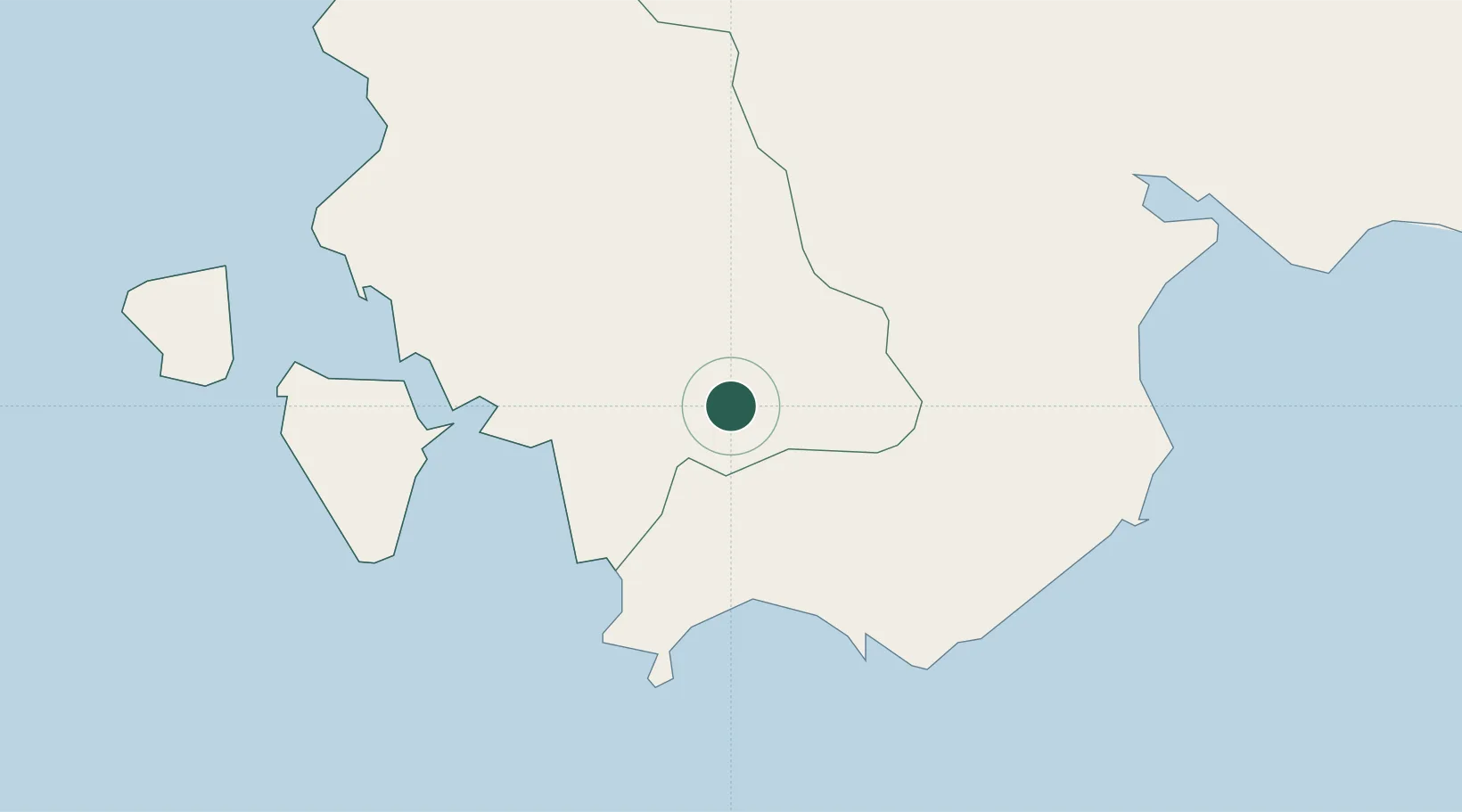
Nearby Logistics Neighbours

Cities
  1. 1Piscinas5 km
  2. 2Sant'Antioco22 km
  3. 3Siliqua26 km
  4. 4Porto Foxi (Sarroch)26 km
  5. 5Domusnovas27 km
Nearest neighbours — logibook spatial index (haversine) over the source coordinates
Ports
  1. 1Porto Ponte Romano21 km
  2. 2Sant'Antioco21 km
  3. 3Sarroch Oil Terminal29 km
  4. 4Porto Vesme30 km
  5. 5Carloforte34 km
Nearest neighbours — logibook spatial index (haversine) over the source coordinates
Airports
  1. 1Cagliari Elmas Airport36 km
  2. 2Decimomannu Air Base38 km
  3. 3Tortolì Airport126 km
  4. 4Alghero-Fertilia Airport176 km
  5. 5Olbia Costa Smeralda Airport214 km
Nearest neighbours — logibook spatial index (haversine) over the source coordinates
Trade Zones
  1. 1Free Zone of Portovesme27 km
  2. 2Sardinia Special Economic Zone Area169 km
  3. 3Bizerte Park of Economic Activities226 km
  4. 4Campania Special Economic Zone (Naples and Salerno)462 km
  5. 5ZFU Toulon505 km
Nearest neighbours — logibook spatial index (haversine) over the source coordinates
DatabookThe Record of Consolidated Knowledge
Italy beyond logistics?
Browse databook

All Sources

LocationsUN/LOCODE
UN/LOCODE — free
LocationsGeoNames
CC BY 4.0
Portsthe NGA World Port Index
Public domain (US gov)
AirportsOurAirports
Public domain
Trade Zonesthe World Bank SEZ database
CC BY 4.0
Trade ZonesOpen Zone Map
CC BY
← Italy locations