Transport Functions
Rail
Road
Hub Profile
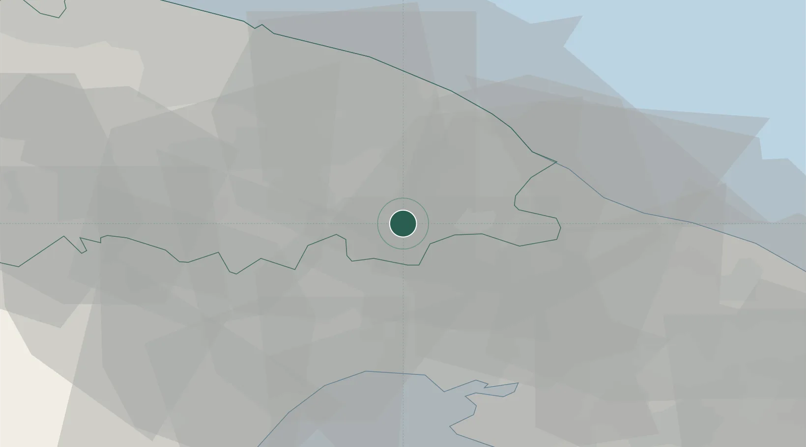
Place type
District seat
Region
Apulia
Population
15,383
Time zone
Europe/Rome
Elevation
420 m
Location
Nearby Logistics Neighbours
Cities
- 1Putignano7 km
- 2Castellana Grotte12 km
- 3Alberobello13 km
- 4Turi17 km
- 5Locorotondo19 km
Ports
- 1Monopoli25 km
- 2Mola Di Bari31 km
- 3Taranto36 km
- 4Bari46 km
- 5Molfetta65 km
Airports
DatabookThe Record of Consolidated Knowledge
Italy beyond logistics?