Transport Functions
Multimodal
Hub Profile
Place type
District seat
Region
Lazio
Population
2,077
Time zone
Europe/Rome
Elevation
210 m
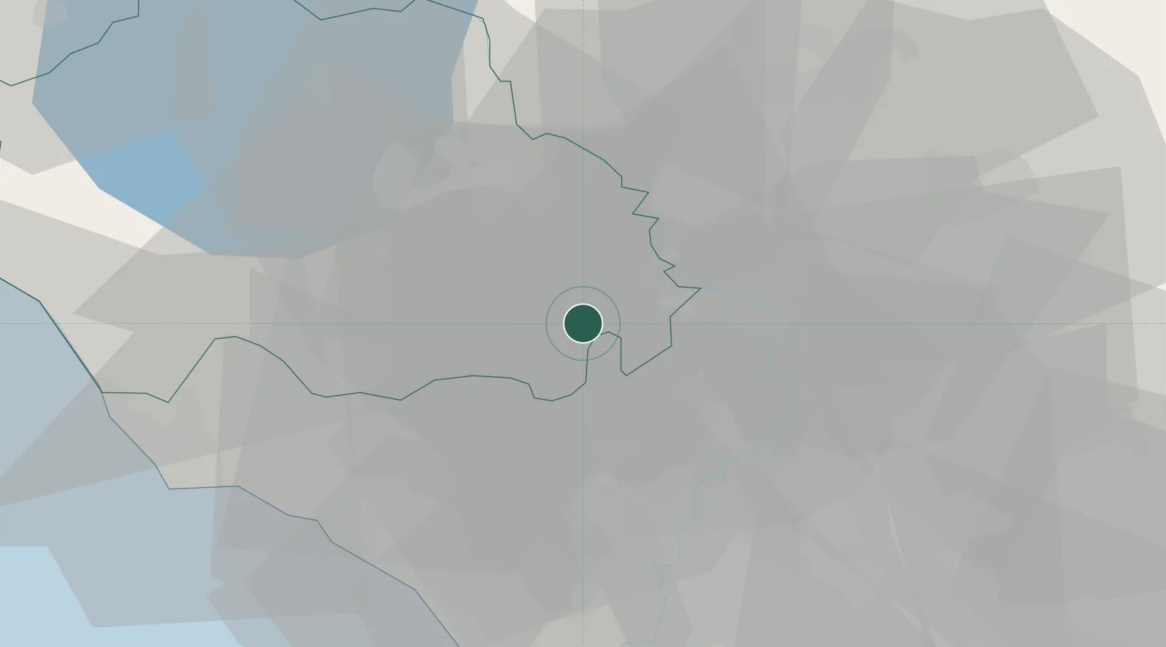
Location
Nearby Logistics Neighbours
Cities
- 1Nepi2 km
- 2Corchiano9 km
- 3Rignano Flaminio11 km
- 4Sutri13 km
- 5Caprarola13 km
Ports
- 1Civitavecchia52 km
- 2Fiumicino55 km
- 3Anzio - Nettuno92 km
- 4Porto Ercole96 km
- 5Porto Santo Stefano105 km
Airports
Trade Zones
DatabookThe Record of Consolidated Knowledge
Italy beyond logistics?