Transport Functions
Road
Multimodal
Hub Profile
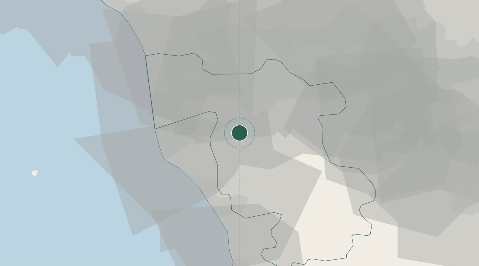
Place type
District seat
Region
Tuscany
Population
592
Time zone
Europe/Rome
Elevation
77 m
Location
Nearby Logistics Neighbours
Cities
- 1Pontedera11 km
- 2Peccioli12 km
- 3Vicopisano13 km
- 4Guasticce14 km
- 5Calcinaia14 km
Ports
- 1Livorno23 km
- 2Vada26 km
- 3Viareggio42 km
- 4Marina Di Carrara66 km
- 5Portovecchio Di Piombino71 km
Airports
- 1Pisa International Airport19 km
- 2Florence Airport, Peretola58 km
- 3Siena-Ampugnano Airport65 km
- 4Sarzana-Luni Air Base74 km
- 5Marina di Campo Airport93 km
Trade Zones
DatabookThe Record of Consolidated Knowledge
Italy beyond logistics?