UN/LOCODE hub · Italy
ITLIV
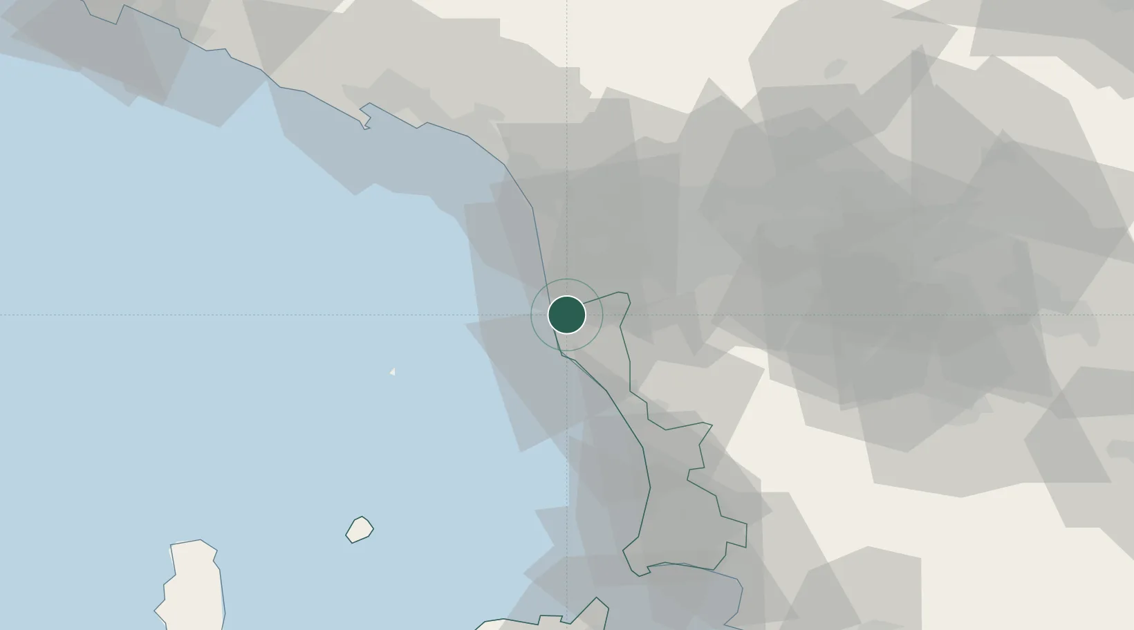
Livorno
43.5789°, 10.3382°
157,017
Population
1
Transport functions
4
Container terminals
Transport Functions
Port
Hub Profile
Place type
Provincial seat
Region
Tuscany
Population
157,017
Time zone
Europe/Rome
Elevation
3 m
Logistics facilities
26
Container terminals
4
Location
Nearby Logistics Neighbours
Cities
- 1Guasticce5 km
- 2Marina di Pisa11 km
- 3Crespina19 km
- 4Castiglioncello21 km
- 5Vicopisano23 km
Ports
- 1Vada27 km
- 2Viareggio33 km
- 3Marina Di Carrara55 km
- 4La Spezia71 km
- 5Portovecchio Di Piombino74 km
Airports
- 1Pisa International Airport13 km
- 2Sarzana-Luni Air Base63 km
- 3Florence Airport, Peretola74 km
- 4Siena-Ampugnano Airport82 km
- 5Marina di Campo Airport91 km
Trade Zones
DatabookThe Record of Consolidated Knowledge
Italy beyond logistics?