Transport Functions
Rail
Road
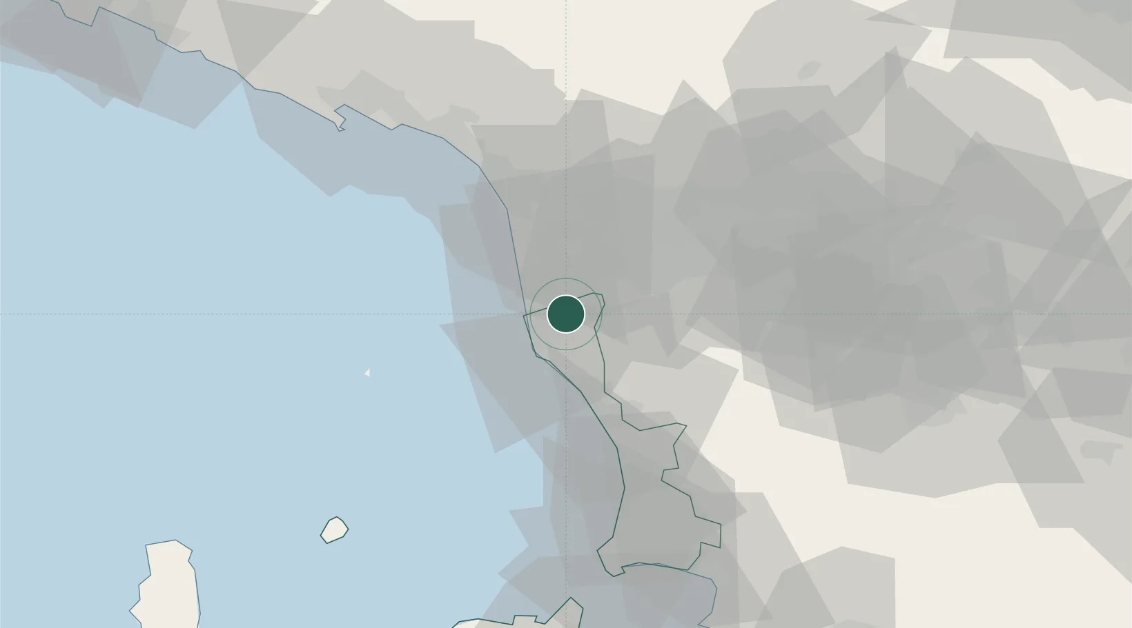
Hub Profile
Place type
Populated place
Region
Tuscany
Population
1,320
Time zone
Europe/Rome
Elevation
4 m
Location
Nearby Logistics Neighbours
Cities
- 1Livorno5 km
- 2Crespina14 km
- 3Marina di Pisa14 km
- 4Vicopisano19 km
- 5Pontedera20 km
Ports
- 1Livorno10 km
- 2Vada26 km
- 3Viareggio34 km
- 4Marina Di Carrara57 km
- 5La Spezia73 km
Airports
- 1Pisa International Airport11 km
- 2Sarzana-Luni Air Base65 km
- 3Florence Airport, Peretola69 km
- 4Siena-Ampugnano Airport78 km
- 5Marina di Campo Airport92 km
Trade Zones
DatabookThe Record of Consolidated Knowledge
Italy beyond logistics?